Area Overview for LS13 3DR
Photos of LS13 3DR
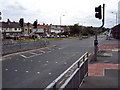
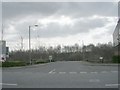
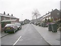
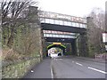
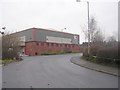
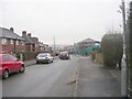
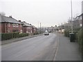
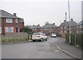
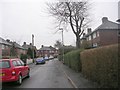
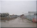
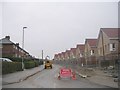
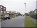
100 photos from this area
Area Information
Key information about the LS13 3DR including its size, population, and administrative classification.
- Area Type
- Postcode
- Area Size
- 8568 m²
- Population
- 1369
- Population Density
- 5437 people/km²
House Prices in LS13 3DR
28
Properties
£84,813
Average Sold Price
£23,000
Lowest Price
£173,000
Highest Price
Showing 28 properties
| Address | Type | Beds | Baths | Last Sale Price | Last Sale Date | |
|---|---|---|---|---|---|---|
| 55 Fairfield Road, Bramley, Leeds, LS13 3DR | Semi-detached | 2 | 2 | £173,000 | Mar 2025 | |
| 11 Fairfield Road, Bramley, Leeds, LS13 3DR | house | 2 | - | £55,000 | Nov 2018 | |
| 17 Fairfield Road, Bramley, Leeds, LS13 3DR | Semi-detached | 2 | - | £75,000 | Mar 2014 | |
| 37 Fairfield Road, Bramley, Leeds, LS13 3DR | Semi-detached | - | - | £90,000 | Sep 2008 | |
| 35 Fairfield Road, Bramley, Leeds, LS13 3DR | Semi-detached | - | - | £105,000 | Dec 2007 | |
| 23 Fairfield Road, Bramley, Leeds, LS13 3DR | Semi-detached | - | - | £89,000 | Jun 2006 | |
| 25 Fairfield Road, Bramley, Leeds, LS13 3DR | Semi-detached | 2 | 1 | £68,500 | Aug 2005 | |
| 13 Fairfield Road, Bramley, Leeds, LS13 3DR | Semi-detached | - | - | £23,000 | Jan 2000 | |
| 5 Fairfield Road, Bramley, Leeds, LS13 3DR | Semi-detached | - | - | - | - | |
| 21 Fairfield Road, Bramley, Leeds, LS13 3DR | Terraced | - | - | - | - |
Page 1 of 3
Energy Efficiency in LS13 3DR
Amenities
Schools
| Rank | School | Type | Entry gender | Ages |
|---|
Explore more schools in this area
Go to Schools tabDemographics
Household Size
One person
most common
Accommodation Type
Houses
most common
Tenure
55
majority
Ethnic Group
White
most common
Religion
N/A
most common
Household Composition
N/A
most common
Age
47
median
Adults (30-64 years)
most common
Household Deprivation
N/A
with no deprivation
NS-SEC
26
in Lower managerial occupations
Explore more demographic insights in this area
Go to Demographics tabPlanning
Planning Constraints
- Flood RiskPremium
- Ramsar Wetland SitesPremium
- Area of Outstanding Natural BeautyPremium
- Protected Nature ReservePremium
- Protected WoodlandPremium