Area Overview for LS13 3DP
Photos of LS13 3DP
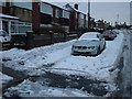
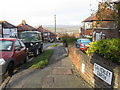
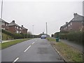
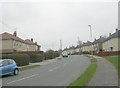
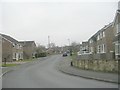
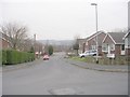
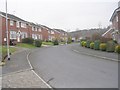
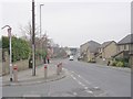
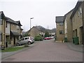
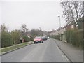
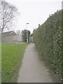
100 photos from this area
Area Information
Key information about the LS13 3DP including its size, population, and administrative classification.
- Area Type
- Postcode
- Area Size
- 6.6 hectares
- Population
- 1734
- Population Density
- 4073 people/km²
House Prices in LS13 3DP
53
Properties
£107,294
Average Sold Price
£72,950
Lowest Price
£155,000
Highest Price
Showing 53 properties
| Address | Type | Beds | Baths | Last Sale Price | Last Sale Date | |
|---|---|---|---|---|---|---|
| 45 Fairfield Hill, Bramley, Leeds, LS13 3DP | house | 3 | - | £135,000 | Jul 2024 | |
| 28 Fairfield Hill, Bramley, Leeds, LS13 3DP | Semi-detached | 3 | 1 | £146,000 | Jan 2024 | |
| 27 Fairfield Hill, Bramley, Leeds, LS13 3DP | Semi-detached | 3 | 1 | £155,000 | Jul 2021 | |
| 32 Fairfield Hill, Bramley, Leeds, LS13 3DP | house | - | - | £125,000 | Mar 2018 | |
| 7 Fairfield Hill, Bramley, Leeds, LS13 3DP | house | - | - | £72,950 | May 2016 | |
| 9 Fairfield Hill, Bramley, Leeds, LS13 3DP | house | - | - | £92,750 | Oct 2011 | |
| 52 Fairfield Hill, Bramley, Leeds, LS13 3DP | house | 3 | - | £85,000 | Aug 2011 | |
| 2 Fairfield Hill, Bramley, Leeds, LS13 3DP | Semi-detached | - | - | £75,000 | Oct 2006 | |
| 18 Fairfield Hill, Bramley, Leeds, LS13 3DP | Semi-detached | - | - | £78,950 | Jun 2004 | |
| 35 Fairfield Hill, Bramley, Leeds, LS13 3DP | Semi-detached | 3 | - | - | - |
Page 1 of 6
Energy Efficiency in LS13 3DP
Amenities
Schools
| Rank | School | Type | Entry gender | Ages |
|---|
Explore more schools in this area
Go to Schools tabDemographics
Household Size
Family (3-5 people)
most common
Accommodation Type
Houses
most common
Tenure
26
majority
Ethnic Group
White
most common
Religion
N/A
most common
Household Composition
N/A
most common
Age
22
median
Adults (30-64 years)
most common
Household Deprivation
N/A
with no deprivation
NS-SEC
13
in Lower managerial occupations
Explore more demographic insights in this area
Go to Demographics tabPlanning
Planning Constraints
- Flood RiskPremium
- Ramsar Wetland SitesPremium
- Area of Outstanding Natural BeautyPremium
- Protected Nature ReservePremium
- Protected WoodlandPremium