Area Overview for HU8 0EZ
Photos of HU8 0EZ
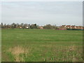
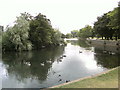

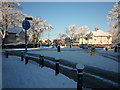
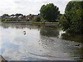
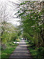
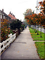
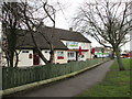


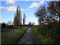
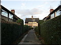
100 photos from this area
Area Information
Key information about the HU8 0EZ including its size, population, and administrative classification.
- Area Type
- Postcode
- Area Size
- 9545 m²
- Population
- 1218
- Population Density
- 3805 people/km²
House Prices in HU8 0EZ
31
Properties
£139,825
Average Sold Price
£57,000
Lowest Price
£255,000
Highest Price
Showing 31 properties
| Address | Type | Beds | Baths | Last Sale Price | Last Sale Date | |
|---|---|---|---|---|---|---|
| 71 Lambwath Road, Kingston Upon Hull, HU8 0EZ | Semi-detached | 3 | 1 | £180,000 | Sep 2024 | |
| 29 Lambwath Road, Kingston Upon Hull, HU8 0EZ | Terraced | 3 | 1 | £175,000 | Oct 2023 | |
| 23 Lambwath Road, Kingston Upon Hull, HU8 0EZ | Terraced | 3 | - | £162,500 | May 2022 | |
| 25 Lambwath Road, Kingston Upon Hull, HU8 0EZ | house | - | - | £189,000 | Feb 2022 | |
| 33 Lambwath Road, Kingston Upon Hull, HU8 0EZ | house | - | - | £148,500 | Jun 2020 | |
| 73 Lambwath Road, Kingston Upon Hull, HU8 0EZ | Detached | 4 | 1 | £255,000 | Oct 2019 | |
| 59 Lambwath Road, Kingston Upon Hull, HU8 0EZ | Terraced | 3 | 1 | £139,000 | Sep 2018 | |
| 51 Lambwath Road, Kingston Upon Hull, HU8 0EZ | Terraced | 3 | 1 | £156,000 | Apr 2018 | |
| 39 Lambwath Road, Kingston Upon Hull, HU8 0EZ | Terraced | 3 | 1 | £140,000 | Sep 2017 | |
| 21 Lambwath Road, Kingston Upon Hull, HU8 0EZ | Terraced | 3 | - | £99,000 | Sep 2014 |
Page 1 of 4
Energy Efficiency in HU8 0EZ
Amenities
Schools
| Rank | School | Type | Entry gender | Ages |
|---|
Explore more schools in this area
Go to Schools tabDemographics
Household Size
Two person
most common
Accommodation Type
Houses
most common
Tenure
84
majority
Ethnic Group
White
most common
Religion
N/A
most common
Household Composition
N/A
most common
Age
47
median
Adults (30-64 years)
most common
Household Deprivation
N/A
with no deprivation
NS-SEC
30
in Lower managerial occupations
Explore more demographic insights in this area
Go to Demographics tabPlanning
Planning Constraints
- Flood RiskPremium
- Ramsar Wetland SitesPremium
- Area of Outstanding Natural BeautyPremium
- Protected Nature ReservePremium
- Protected WoodlandPremium