Area Overview for HU5 3DN
Photos of HU5 3DN

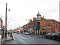
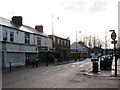
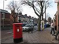
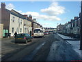
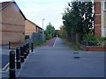
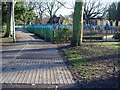
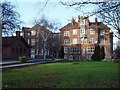
100 photos from this area
Area Information
Key information about the HU5 3DN including its size, population, and administrative classification.
- Area Type
- Postcode
- Area Size
- 1.1 hectares
- Population
- 1357
- Population Density
- 6634 people/km²
House Prices in HU5 3DN
37
Properties
£187,267
Average Sold Price
£52,500
Lowest Price
£300,000
Highest Price
Showing 37 properties
| Address | Type | Beds | Baths | Last Sale Price | Last Sale Date | |
|---|---|---|---|---|---|---|
| 31 Victoria Avenue, Princes Avenue, Kingston Upon Hull, HU5 3DN | Terraced | 4 | 1 | £300,000 | Sep 2024 | |
| 3 Victoria Avenue, Princes Avenue, Kingston Upon Hull, HU5 3DN | Terraced | 4 | 1 | £236,000 | Apr 2022 | |
| 45 Victoria Avenue, Princes Avenue, Kingston Upon Hull, HU5 3DN | house | - | - | £276,000 | Mar 2021 | |
| 19 Victoria Avenue, Princes Avenue, Kingston Upon Hull, HU5 3DN | house | 4 | 2 | £175,000 | Sep 2018 | |
| 29 Victoria Avenue, Princes Avenue, Kingston Upon Hull, HU5 3DN | Terraced | 4 | 2 | £200,000 | Oct 2015 | |
| 7 Victoria Avenue, Princes Avenue, Kingston Upon Hull, HU5 3DN | Terraced | 5 | 3 | £203,500 | Apr 2015 | |
| 41 Victoria Avenue, Princes Avenue, Kingston Upon Hull, HU5 3DN | Terraced | 5 | - | £230,000 | Oct 2013 | |
| 49 Victoria Avenue, Princes Avenue, Kingston Upon Hull, HU5 3DN | house | 5 | - | £250,000 | Aug 2013 | |
| 17 Victoria Avenue, Princes Avenue, Kingston Upon Hull, HU5 3DN | Terraced | - | - | £215,000 | Nov 2006 | |
| 11 Victoria Avenue, Princes Avenue, Kingston Upon Hull, HU5 3DN | house | - | - | £176,000 | Feb 2006 |
Page 1 of 4
Energy Efficiency in HU5 3DN
Amenities
Schools
| Rank | School | Type | Entry gender | Ages |
|---|
Explore more schools in this area
Go to Schools tabDemographics
Household Size
Two person
most common
Accommodation Type
Houses
most common
Tenure
66
majority
Ethnic Group
White
most common
Religion
N/A
most common
Household Composition
N/A
most common
Age
47
median
Adults (30-64 years)
most common
Household Deprivation
N/A
with no deprivation
NS-SEC
43
in Lower managerial occupations
Explore more demographic insights in this area
Go to Demographics tabPlanning
Planning Constraints
- Flood RiskPremium
- Ramsar Wetland SitesPremium
- Area of Outstanding Natural BeautyPremium
- Protected Nature ReservePremium
- Protected WoodlandPremium