Area Overview for HU18 1UR
Photos of HU18 1UR
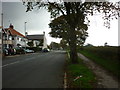
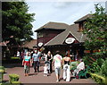
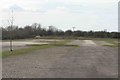
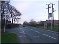
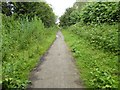
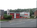
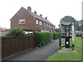
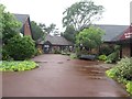
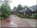
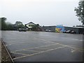
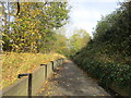
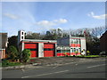
56 photos from this area
Area Information
Key information about the HU18 1UR including its size, population, and administrative classification.
- Area Type
- Postcode
- Area Size
- 3.5 hectares
- Population
- 1722
- Population Density
- 123 people/km²
House Prices in HU18 1UR
11
Properties
£379,000
Average Sold Price
£115,000
Lowest Price
£695,000
Highest Price
Showing 11 properties
| Address | Type | Beds | Baths | Last Sale Price | Last Sale Date | |
|---|---|---|---|---|---|---|
| Nutkins, 72 Rolston Road, Hornsea, HU18 1UR | Bungalow | - | - | £695,000 | Feb 2024 | |
| Rose Lawns, Rolston Road, Hornsea, HU18 1UR | house | 6 | - | £570,000 | Nov 2020 | |
| Sunnydene, Rolston Road, Hornsea, HU18 1UR | Detached | 3 | 2 | £305,000 | Sep 2017 | |
| Merrywood, 66 Rolston Road, Hornsea, HU18 1UR | house | - | - | £210,000 | Jun 2009 | |
| The Chimes, Rolston Road, Hornsea, HU18 1UR | Detached | - | - | £115,000 | Jan 1998 | |
| The Old Bailey, 64 Rolston Road, Hornsea, HU18 1UR | house | - | - | - | - | |
| Arendale, Rolston Road, Hornsea, HU18 1UR | house | - | - | - | - | |
| Chestnuts, Rolston Road, Hornsea, HU18 1UR | house | - | - | - | - | |
| Foss Beck House, Rolston Road, Hornsea, HU18 1UR | house | - | - | - | - | |
| Kgs Limited, Research House, 70 Rolston Road, Hornsea, HU18 1UR | Office | - | - | - | - |
Page 1 of 2
Energy Efficiency in HU18 1UR
Amenities
Schools
| Rank | School | Type | Entry gender | Ages |
|---|
Explore more schools in this area
Go to Schools tabDemographics
Household Size
Two person
most common
Accommodation Type
Houses
most common
Tenure
85
majority
Ethnic Group
White
most common
Religion
N/A
most common
Household Composition
N/A
most common
Age
47
median
Adults (30-64 years)
most common
Household Deprivation
N/A
with no deprivation
NS-SEC
30
in Lower managerial occupations
Explore more demographic insights in this area
Go to Demographics tabPlanning
Planning Constraints
- Flood RiskPremium
- Ramsar Wetland SitesPremium
- Area of Outstanding Natural BeautyPremium
- Protected Nature ReservePremium
- Protected WoodlandPremium