Area Overview for HU18 1UG
Photos of HU18 1UG
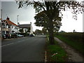
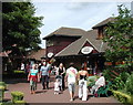
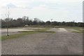
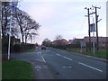
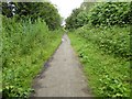
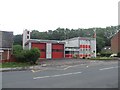
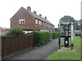
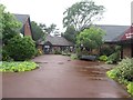
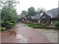
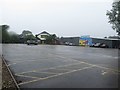
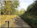
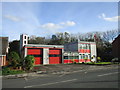
56 photos from this area
Area Information
Key information about the HU18 1UG including its size, population, and administrative classification.
- Area Type
- Postcode
- Area Size
- 1.3 hectares
- Population
- 1664
- Population Density
- 2966 people/km²
House Prices in HU18 1UG
37
Properties
£123,025
Average Sold Price
£24,000
Lowest Price
£225,000
Highest Price
Showing 37 properties
| Address | Type | Beds | Baths | Last Sale Price | Last Sale Date | |
|---|---|---|---|---|---|---|
| 48 Stanley Avenue, Hornsea, HU18 1UG | Terraced | 3 | 1 | £166,950 | Nov 2025 | |
| 16 Stanley Avenue, Hornsea, HU18 1UG | Bungalow | 2 | 1 | £165,000 | Nov 2024 | |
| 8 Stanley Avenue, Hornsea, HU18 1UG | Bungalow | 2 | 1 | £90,000 | Aug 2024 | |
| 66 Stanley Avenue, Hornsea, HU18 1UG | house | 4 | 1 | £220,000 | Jul 2024 | |
| 62 Stanley Avenue, Hornsea, HU18 1UG | house | 3 | 1 | £225,000 | Jun 2024 | |
| 30 Stanley Avenue, Hornsea, HU18 1UG | Bungalow | 2 | 1 | £155,000 | Jan 2024 | |
| 28 Stanley Avenue, Hornsea, HU18 1UG | Bungalow | 2 | 1 | £155,000 | Oct 2023 | |
| 40 Stanley Avenue, Hornsea, HU18 1UG | Bungalow | 2 | 1 | £135,000 | Sep 2023 | |
| Abbeydale, 20 Stanley Avenue, Hornsea, HU18 1UG | Bungalow | 3 | 1 | £165,000 | Oct 2022 | |
| 10 Stanley Avenue, Hornsea, HU18 1UG | Bungalow | 2 | 1 | £143,500 | Feb 2022 |
Page 1 of 4
Energy Efficiency in HU18 1UG
Amenities
Schools
| Rank | School | Type | Entry gender | Ages |
|---|
Explore more schools in this area
Go to Schools tabDemographics
Household Size
Two person
most common
Accommodation Type
Houses
most common
Tenure
61
majority
Ethnic Group
White
most common
Religion
N/A
most common
Household Composition
N/A
most common
Age
47
median
Adults (30-64 years)
most common
Household Deprivation
N/A
with no deprivation
NS-SEC
22
in Lower managerial occupations
Explore more demographic insights in this area
Go to Demographics tabPlanning
Planning Constraints
- Flood RiskPremium
- Ramsar Wetland SitesPremium
- Area of Outstanding Natural BeautyPremium
- Protected Nature ReservePremium
- Protected WoodlandPremium