Area Overview for HU15 2RH
Photos of HU15 2RH
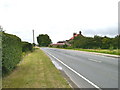
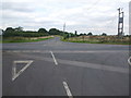
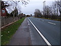
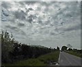
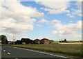
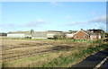
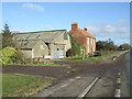
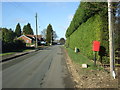
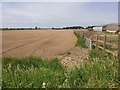
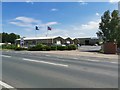
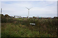
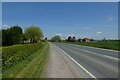
28 photos from this area
Area Information
Key information about the HU15 2RH including its size, population, and administrative classification.
- Area Type
- Postcode
- Area Size
- 54.8 hectares
- Population
- 1962
- Population Density
- 53 people/km²
House Prices in HU15 2RH
20
Properties
£143,000
Average Sold Price
£67,500
Lowest Price
£250,000
Highest Price
Showing 20 properties
| Address | Type | Beds | Baths | Last Sale Price | Last Sale Date | |
|---|---|---|---|---|---|---|
| Low Lea, Main Road, Newport, HU15 2RH | Bungalow | - | - | £250,000 | Jan 2022 | |
| 214 Main Road, Newport, HU15 2RH | house | - | - | £152,000 | Jul 2020 | |
| 208 Main Road, Newport, HU15 2RH | house | 3 | - | £158,500 | Aug 2016 | |
| 212 Main Road, Newport, HU15 2RH | Semi-detached | 2 | - | £95,000 | Mar 2014 | |
| 210 Main Road, Newport, HU15 2RH | house | - | - | £67,500 | Nov 2002 | |
| Wallingfen Lodge, 236 Main Road, Newport, HU15 2RH | house | - | - | £135,000 | Jun 1997 | |
| 196 Main Road, Newport, HU15 2RH | Bungalow | 3 | 1 | - | - | |
| 200 Main Road, Newport, HU15 2RH | Semi-detached | - | - | - | - | |
| 198 Main Road, Newport, HU15 2RH | Semi-detached | - | - | - | - | |
| 206 Main Road, Newport, HU15 2RH | house | - | - | - | - |
Page 1 of 2
Energy Efficiency in HU15 2RH
Amenities
Schools
| Rank | School | Type | Entry gender | Ages |
|---|
Explore more schools in this area
Go to Schools tabDemographics
Household Size
Two person
most common
Accommodation Type
Houses
most common
Tenure
82
majority
Ethnic Group
White
most common
Religion
N/A
most common
Household Composition
N/A
most common
Age
47
median
Adults (30-64 years)
most common
Household Deprivation
N/A
with no deprivation
NS-SEC
21
in Lower managerial occupations
Explore more demographic insights in this area
Go to Demographics tabPlanning
Planning Constraints
- Flood RiskPremium
- Ramsar Wetland SitesPremium
- Area of Outstanding Natural BeautyPremium
- Protected Nature ReservePremium
- Protected WoodlandPremium