Area Overview for HU15 2QN
Photos of HU15 2QN
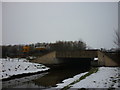
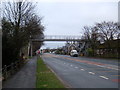

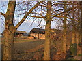
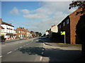
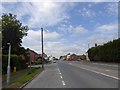
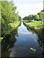
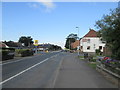
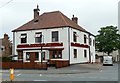
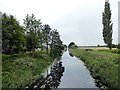
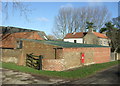
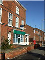
49 photos from this area
Area Information
Key information about the HU15 2QN including its size, population, and administrative classification.
- Area Type
- Postcode
- Area Size
- 3.2 hectares
- Population
- 1664
- Population Density
- 132 people/km²
House Prices in HU15 2QN
61
Properties
£111,617
Average Sold Price
£33,000
Lowest Price
£236,000
Highest Price
Showing 61 properties
| Address | Type | Beds | Baths | Last Sale Price | Last Sale Date | |
|---|---|---|---|---|---|---|
| 4 Meadow Lane, Newport, HU15 2QN | Detached | 3 | 1 | £236,000 | Jul 2025 | |
| 21 Meadow Lane, Newport, HU15 2QN | Semi-detached | 2 | 1 | £200,000 | Jul 2024 | |
| 31 Meadow Lane, Newport, HU15 2QN | Bungalow | 2 | 1 | £180,000 | Mar 2024 | |
| 33 Meadow Lane, Newport, HU15 2QN | Semi-detached | 2 | 1 | £146,000 | Apr 2023 | |
| 2 Meadow Lane, Newport, HU15 2QN | house | - | - | £193,000 | Aug 2021 | |
| 24 Meadow Lane, Newport, HU15 2QN | house | - | - | £139,950 | Nov 2020 | |
| 3 Meadow Lane, Newport, HU15 2QN | Bungalow | - | - | £185,000 | Nov 2020 | |
| 34 Meadow Lane, Newport, HU15 2QN | house | - | - | £145,500 | Jan 2019 | |
| 52 Meadow Lane, Newport, HU15 2QN | house | - | - | £135,000 | Nov 2018 | |
| 42 Meadow Lane, Newport, HU15 2QN | Semi-detached | 2 | - | £103,000 | Sep 2018 |
Page 1 of 7
Energy Efficiency in HU15 2QN
Amenities
Schools
| Rank | School | Type | Entry gender | Ages |
|---|
Explore more schools in this area
Go to Schools tabDemographics
Household Size
Two person
most common
Accommodation Type
Houses
most common
Tenure
77
majority
Ethnic Group
White
most common
Religion
N/A
most common
Household Composition
N/A
most common
Age
47
median
Adults (30-64 years)
most common
Household Deprivation
N/A
with no deprivation
NS-SEC
28
in Lower managerial occupations
Explore more demographic insights in this area
Go to Demographics tabPlanning
Planning Constraints
- Flood RiskPremium
- Ramsar Wetland SitesPremium
- Area of Outstanding Natural BeautyPremium
- Protected Nature ReservePremium
- Protected WoodlandPremium