Area Overview for HU12 9RX
Photos of HU12 9RX
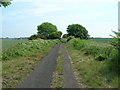
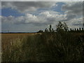
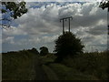
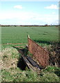

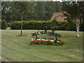
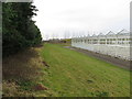
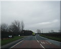
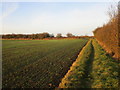
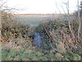
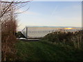
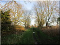
27 photos from this area
Area Information
Key information about the HU12 9RX including its size, population, and administrative classification.
- Area Type
- Postcode
- Area Size
- 1.1 km²
- Population
- 1514
- Population Density
- 25 people/km²
House Prices in HU12 9RX
56
Properties
£155,974
Average Sold Price
£9,500
Lowest Price
£344,950
Highest Price
Showing 56 properties
| Address | Type | Beds | Baths | Last Sale Price | Last Sale Date | |
|---|---|---|---|---|---|---|
| Farfield Lodge, Ottringham Road, Keyingham, HU12 9RX | Detached | - | - | £329,950 | Dec 2024 | |
| West Lea, Ottringham Road, Keyingham, HU12 9RX | house | - | - | £90,000 | Oct 2023 | |
| Serenity, Ottringham Road, Keyingham, HU12 9RX | Bungalow | 2 | 1 | £344,950 | Jun 2023 | |
| Jarles, Ottringham Road, Keyingham, HU12 9RX | Bungalow | 3 | 1 | £182,500 | Apr 2023 | |
| Thorneycroft, Ottringham Road, Keyingham, HU12 9RX | Detached | 4 | 2 | £275,000 | Aug 2022 | |
| Gemini, Ottringham Road, Keyingham, HU12 9RX | house | - | - | £10,000 | Jun 2022 | |
| Greenways, Ottringham Road, Keyingham, HU12 9RX | Detached | 4 | 2 | £9,500 | Feb 2022 | |
| St Leonards, Ottringham Road, Keyingham, HU12 9RX | Terraced | 3 | 1 | £150,000 | Nov 2021 | |
| Lythe, Ottringham Road, Keyingham, HU12 9RX | house | - | - | £255,000 | Oct 2021 | |
| Kinross, Ottringham Road, Keyingham, HU12 9RX | Terraced | 3 | 1 | £130,000 | Jul 2019 |
Page 1 of 6
Energy Efficiency in HU12 9RX
Amenities
Schools
| Rank | School | Type | Entry gender | Ages |
|---|
Explore more schools in this area
Go to Schools tabDemographics
Household Size
Two person
most common
Accommodation Type
Houses
most common
Tenure
75
majority
Ethnic Group
White
most common
Religion
N/A
most common
Household Composition
N/A
most common
Age
47
median
Adults (30-64 years)
most common
Household Deprivation
N/A
with no deprivation
NS-SEC
31
in Lower managerial occupations
Explore more demographic insights in this area
Go to Demographics tabPlanning
Planning Constraints
- Flood RiskPremium
- Ramsar Wetland SitesPremium
- Area of Outstanding Natural BeautyPremium
- Protected Nature ReservePremium
- Protected WoodlandPremium