Area Overview for HU10 7PL
Photos of HU10 7PL
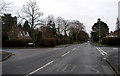
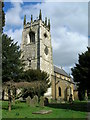
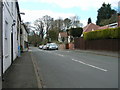
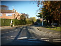
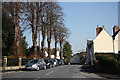
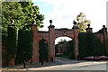
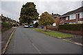
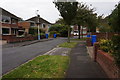
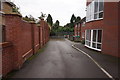
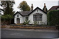
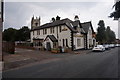
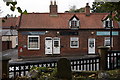
41 photos from this area
Area Information
Key information about the HU10 7PL including its size, population, and administrative classification.
- Area Type
- Postcode
- Area Size
- 2.2 hectares
- Population
- 1483
- Population Density
- 459 people/km²
House Prices in HU10 7PL
25
Properties
£240,457
Average Sold Price
£72,500
Lowest Price
£330,000
Highest Price
Showing 25 properties
| Address | Type | Beds | Baths | Last Sale Price | Last Sale Date | |
|---|---|---|---|---|---|---|
| 26 Valley Drive, Kirk Ella, HU10 7PL | Bungalow | 4 | 2 | £320,000 | Aug 2025 | |
| 31 Valley Drive, Kirk Ella, HU10 7PL | Bungalow | 2 | 1 | £225,000 | Jul 2025 | |
| 28 Valley Drive, Kirk Ella, HU10 7PL | Bungalow | 3 | - | £315,000 | Feb 2021 | |
| 27 Valley Drive, Kirk Ella, HU10 7PL | Bungalow | 3 | 1 | £275,000 | Nov 2019 | |
| 44 Valley Drive, Kirk Ella, HU10 7PL | Bungalow | 3 | 2 | £330,000 | Mar 2019 | |
| 21 Valley Drive, Kirk Ella, HU10 7PL | Bungalow | - | - | £239,950 | May 2016 | |
| 37 Valley Drive, Kirk Ella, HU10 7PL | Bungalow | - | - | £221,500 | Mar 2014 | |
| 39 Valley Drive, Kirk Ella, HU10 7PL | Semi-detached | 3 | - | £180,000 | Oct 2011 | |
| 38 Valley Drive, Kirk Ella, HU10 7PL | house | 4 | - | £300,000 | Feb 2011 | |
| 42 Valley Drive, Kirk Ella, HU10 7PL | Bungalow | 4 | - | £325,000 | Jun 2010 |
Page 1 of 3
Energy Efficiency in HU10 7PL
Amenities
Schools
| Rank | School | Type | Entry gender | Ages |
|---|
Explore more schools in this area
Go to Schools tabDemographics
Household Size
Two person
most common
Accommodation Type
Houses
most common
Tenure
95
majority
Ethnic Group
White
most common
Religion
N/A
most common
Household Composition
N/A
most common
Age
47
median
Adults (30-64 years)
most common
Household Deprivation
N/A
with no deprivation
NS-SEC
47
in Lower managerial occupations
Explore more demographic insights in this area
Go to Demographics tabPlanning
Planning Constraints
- Flood RiskPremium
- Ramsar Wetland SitesPremium
- Area of Outstanding Natural BeautyPremium
- Protected Nature ReservePremium
- Protected WoodlandPremium