Area Overview for HG2 9HU
Photos of HG2 9HU


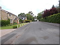
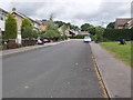
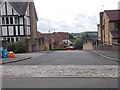
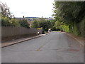
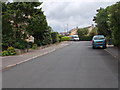
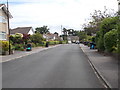
65 photos from this area
Area Information
Key information about the HG2 9HU including its size, population, and administrative classification.
- Area Type
- Postcode
- Area Size
- 1.5 hectares
- Population
- 1547
- Population Density
- 1862 people/km²
House Prices in HG2 9HU
11
Properties
£626,000
Average Sold Price
£320,000
Lowest Price
£1,010,000
Highest Price
Showing 11 properties
| Address | Type | Beds | Baths | Last Sale Price | Last Sale Date | |
|---|---|---|---|---|---|---|
| 7 Stone Rings Grange, Harrogate, HG2 9HU | Detached | 5 | - | £1,010,000 | Aug 2020 | |
| 9 Stone Rings Grange, Harrogate, HG2 9HU | house | - | - | £885,000 | Jan 2013 | |
| 10 Stone Rings Grange, Harrogate, HG2 9HU | house | - | - | £320,000 | Feb 2000 | |
| 4 Stone Rings Grange, Harrogate, HG2 9HU | Detached | 5 | 3 | £470,000 | Jan 2000 | |
| 6 Stone Rings Grange, Harrogate, HG2 9HU | Detached | 5 | 3 | £445,000 | Oct 1999 | |
| Hillside House, 3 Stone Rings Grange, Harrogate, HG2 9HU | Detached | 5 | 3 | - | - | |
| Mill Green House, 2 Stone Rings Grange, Harrogate, HG2 9HU | Detached | 5 | 3 | - | - | |
| Newsome House, 8 Stone Rings Grange, Harrogate, HG2 9HU | Detached | 5 | - | - | - | |
| The Lodge House, 3 Stone Rings Lane, Harrogate, HG2 9HU | Detached | - | - | - | - | |
| Alandale, 5 Stone Rings Grange, Harrogate, HG2 9HU | Detached | - | - | - | - |
Page 1 of 2
Energy Efficiency in HG2 9HU
Amenities
Schools
| Rank | School | Type | Entry gender | Ages |
|---|
Explore more schools in this area
Go to Schools tabDemographics
Household Size
Two person
most common
Accommodation Type
Houses
most common
Tenure
85
majority
Ethnic Group
White
most common
Religion
N/A
most common
Household Composition
N/A
most common
Age
47
median
Adults (30-64 years)
most common
Household Deprivation
N/A
with no deprivation
NS-SEC
52
in Lower managerial occupations
Explore more demographic insights in this area
Go to Demographics tabPlanning
Planning Constraints
- Flood RiskPremium
- Ramsar Wetland SitesPremium
- Area of Outstanding Natural BeautyPremium
- Protected Nature ReservePremium
- Protected WoodlandPremium