Area Overview for HD9 7HP
Photos of HD9 7HP
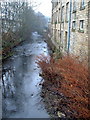
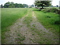
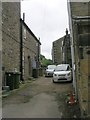
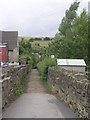
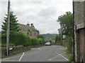
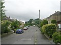
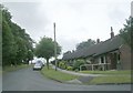
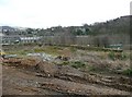
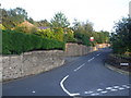
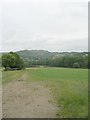
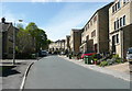
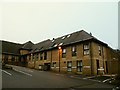
37 photos from this area
Area Information
Key information about the HD9 7HP including its size, population, and administrative classification.
- Area Type
- Postcode
- Area Size
- 1.9 hectares
- Population
- 1813
- Population Density
- 943 people/km²
House Prices in HD9 7HP
7
Properties
-
Average Sold Price
-
Lowest Price
-
Highest Price
Showing 7 properties
| Address | Type | Beds | Baths | Last Sale Price | Last Sale Date | |
|---|---|---|---|---|---|---|
| Albion Cycling, Unit 3, Albion Mills, Miry Lane, Thongsbridge, Holmfirth, HD9 7HP | Office | - | - | - | - | |
| Incar Electrical, Floors 1 To 4 Unit 1, Albion Mills, Miry Lane, Thongsbridge, Holmfirth, HD9 7HP | warehouse | - | - | - | - | |
| Albion Cycling Cafe Unit 26 And 27, Albion Mills, Miry Lane, Thongsbridge, Holmfirth, HD9 7HP | Restaurant | - | - | - | - | |
| New Unit 3, Albion Mills, Miry Lane, Thongsbridge, Holmfirth, HD9 7HP | warehouse | - | - | - | - | |
| Unit 26 And 27, Albion Mills, Miry Lane, Thongsbridge, Holmfirth, HD9 7HP | office_workshop | - | - | - | - | |
| The Wrought Iron Workshop, Albion Mills, Miry Lane, Thongsbridge, Holmfirth, HD9 7HP | Industrial | - | - | - | - | |
| 11 Miry Lane, Thongsbridge, Holmfirth, HD9 7HP | house | - | - | - | - |
Energy Efficiency in HD9 7HP
Amenities
Schools
| Rank | School | Type | Entry gender | Ages |
|---|
Explore more schools in this area
Go to Schools tabDemographics
Household Size
Two person
most common
Accommodation Type
Houses
most common
Tenure
83
majority
Ethnic Group
White
most common
Religion
N/A
most common
Household Composition
N/A
most common
Age
47
median
Adults (30-64 years)
most common
Household Deprivation
N/A
with no deprivation
NS-SEC
46
in Lower managerial occupations
Explore more demographic insights in this area
Go to Demographics tabPlanning
Planning Constraints
- Flood RiskPremium
- Ramsar Wetland SitesPremium
- Area of Outstanding Natural BeautyPremium
- Protected Nature ReservePremium
- Protected WoodlandPremium