Area Overview for HD9 4HW
Photos of HD9 4HW
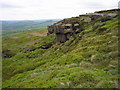
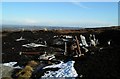
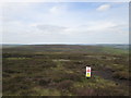
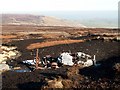
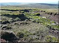
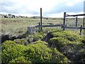
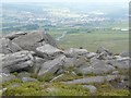
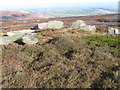
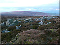
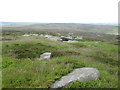
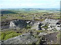
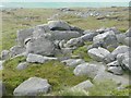
15 photos from this area
Area Information
Key information about the HD9 4HW including its size, population, and administrative classification.
- Area Type
- Postcode
- Area Size
- 4.2 km²
- Population
- 2027
- Population Density
- 170 people/km²
House Prices in HD9 4HW
5
Properties
£166,050
Average Sold Price
£130,000
Lowest Price
£202,100
Highest Price
Showing 5 properties
| Address | Type | Beds | Baths | Last Sale Price | Last Sale Date | |
|---|---|---|---|---|---|---|
| Orleans Farm, Wessenden Head Road, Meltham, Holmfirth, HD9 4HW | Detached | - | - | £202,100 | Jul 2000 | |
| Orleans Lodge, Wessenden Head Road, Meltham, Holmfirth, HD9 4HW | Detached | - | - | £130,000 | Jun 1996 | |
| West Nab Shooting Lodge, Wessenden Head Road, Meltham, Holmfirth, HD9 4HW | Detached | - | - | - | - | |
| Caravan, West Nab Shooting Lodge, Wessenden Head Road, Meltham, Holmfirth, HD9 4HW | Mobile Home | - | - | - | - | |
| High Moor Farm, Wessenden Head Road, Meltham, Holmfirth, HD9 4HW | Detached | - | - | - | - |
Energy Efficiency in HD9 4HW
Amenities
Schools
| Rank | School | Type | Entry gender | Ages |
|---|
Explore more schools in this area
Go to Schools tabDemographics
Household Size
Two person
most common
Accommodation Type
Houses
most common
Tenure
86
majority
Ethnic Group
White
most common
Religion
N/A
most common
Household Composition
N/A
most common
Age
47
median
Adults (30-64 years)
most common
Household Deprivation
N/A
with no deprivation
NS-SEC
44
in Lower managerial occupations
Explore more demographic insights in this area
Go to Demographics tabPlanning
Planning Constraints
- Flood RiskPremium
- Ramsar Wetland SitesPremium
- Area of Outstanding Natural BeautyPremium
- Protected Nature ReservePremium
- Protected WoodlandPremium