Area Overview for HD6 3QP
Photos of HD6 3QP
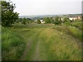
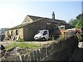
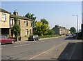
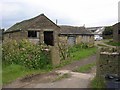
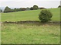
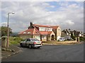
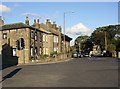
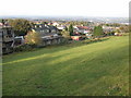
100 photos from this area
Area Information
Key information about the HD6 3QP including its size, population, and administrative classification.
- Area Type
- Postcode
- Area Size
- 3.6 hectares
- Population
- 1401
- Population Density
- 1195 people/km²
House Prices in HD6 3QP
11
Properties
£221,250
Average Sold Price
£200,000
Lowest Price
£270,000
Highest Price
Showing 11 properties
| Address | Type | Beds | Baths | Last Sale Price | Last Sale Date | |
|---|---|---|---|---|---|---|
| 133 Clough Lane, Rastrick, Brighouse, HD6 3QP | Detached | 3 | 2 | £270,000 | Mar 2025 | |
| 141 Clough Lane, Rastrick, Brighouse, HD6 3QP | Detached | 5 | 2 | £210,000 | Jul 2015 | |
| 137 Clough Lane, Rastrick, Brighouse, HD6 3QP | Bungalow | 3 | - | £205,000 | Sep 2012 | |
| 139 Clough Lane, Rastrick, Brighouse, HD6 3QP | Detached | 3 | - | £200,000 | Jan 2012 | |
| 137A Clough Lane, Rastrick, Brighouse, HD6 3QP | Semi-detached | 4 | 1 | - | - | |
| 137B Clough Lane, Rastrick, Brighouse, HD6 3QP | house | 4 | - | - | - | |
| The Studio Flat, 141 Clough Lane, Rastrick, Brighouse, HD6 3QP | Flat | - | - | - | - | |
| 135 Clough Lane, Rastrick, Brighouse, HD6 3QP | Detached | - | - | - | - | |
| Living Accommodation, The Four Sons, 129 Clough Lane, Rastrick, Brighouse, HD6 3QP | Flat | - | - | - | - | |
| Recycling Point, The Four Sons, 129 Clough Lane, Rastrick, Brighouse, HD6 3QP | commercial | - | - | - | - |
Page 1 of 2
Energy Efficiency in HD6 3QP
Amenities
Schools
| Rank | School | Type | Entry gender | Ages |
|---|
Explore more schools in this area
Go to Schools tabDemographics
Household Size
Family (3-5 people)
most common
Accommodation Type
Houses
most common
Tenure
95
majority
Ethnic Group
White
most common
Religion
N/A
most common
Household Composition
N/A
most common
Age
47
median
Adults (30-64 years)
most common
Household Deprivation
N/A
with no deprivation
NS-SEC
47
in Lower managerial occupations
Explore more demographic insights in this area
Go to Demographics tabPlanning
Planning Constraints
- Flood RiskPremium
- Ramsar Wetland SitesPremium
- Area of Outstanding Natural BeautyPremium
- Protected Nature ReservePremium
- Protected WoodlandPremium