Area Overview for HD2 2JF
Photos of HD2 2JF
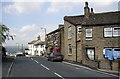
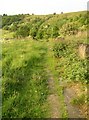
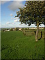
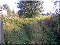
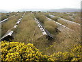
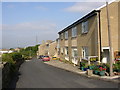
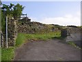
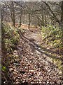
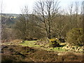
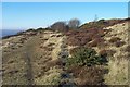
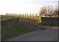
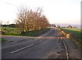
100 photos from this area
Area Information
Key information about the HD2 2JF including its size, population, and administrative classification.
- Area Type
- Postcode
- Area Size
- 32.1 hectares
- Population
- 1494
- Population Density
- 576 people/km²
House Prices in HD2 2JF
15
Properties
£253,188
Average Sold Price
£75,000
Lowest Price
£845,000
Highest Price
Showing 15 properties
| Address | Type | Beds | Baths | Last Sale Price | Last Sale Date | |
|---|---|---|---|---|---|---|
| 86 Fixby Road, Fixby, Huddersfield, HD2 2JF | Bungalow | - | - | £845,000 | Sep 2024 | |
| 80 Fixby Road, Fixby, Huddersfield, HD2 2JF | house | - | - | £237,500 | May 2018 | |
| 74 Fixby Road, Fixby, Huddersfield, HD2 2JF | Semi-detached | - | - | £195,000 | Oct 2008 | |
| 70 Fixby Road, Fixby, Huddersfield, HD2 2JF | Semi-detached | 3 | 1 | £267,500 | Mar 2007 | |
| 68 Fixby Road, Fixby, Huddersfield, HD2 2JF | house | - | - | £214,500 | Dec 2003 | |
| 78 Fixby Road, Fixby, Huddersfield, HD2 2JF | Semi-detached | - | - | £110,000 | Jun 2002 | |
| 82 Fixby Road, Fixby, Huddersfield, HD2 2JF | house | - | - | £75,000 | Feb 1999 | |
| 72 Fixby Road, Fixby, Huddersfield, HD2 2JF | Detached | - | - | £81,000 | Jul 1998 | |
| Flat, 86 Fixby Road, Fixby, Huddersfield, HD2 2JF | Flat | - | - | - | - | |
| Kirklees Council, Huddersfield Crematorium Depot, Huddersfield Crematorium, Fixby Road, Fixby, Huddersfield, HD2 2JF | Industrial | - | - | - | - |
Page 1 of 2
Energy Efficiency in HD2 2JF
Amenities
Schools
| Rank | School | Type | Entry gender | Ages |
|---|
Explore more schools in this area
Go to Schools tabDemographics
Household Size
Two person
most common
Accommodation Type
Houses
most common
Tenure
88
majority
Ethnic Group
White
most common
Religion
N/A
most common
Household Composition
N/A
most common
Age
47
median
Adults (30-64 years)
most common
Household Deprivation
N/A
with no deprivation
NS-SEC
47
in Lower managerial occupations
Explore more demographic insights in this area
Go to Demographics tabPlanning
Planning Constraints
- Flood RiskPremium
- Ramsar Wetland SitesPremium
- Area of Outstanding Natural BeautyPremium
- Protected Nature ReservePremium
- Protected WoodlandPremium