Area Overview for HD4 5QD
Photos of HD4 5QD
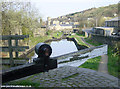

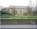
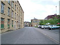
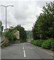
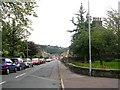
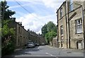
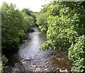
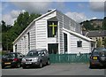
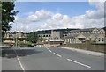
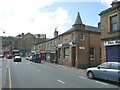
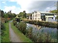
100 photos from this area
Area Information
Key information about the HD4 5QD including its size, population, and administrative classification.
- Area Type
- Postcode
- Area Size
- 5.6 hectares
- Population
- 1777
- Population Density
- 2949 people/km²
House Prices in HD4 5QD
40
Properties
£105,957
Average Sold Price
£35,000
Lowest Price
£210,000
Highest Price
Showing 40 properties
| Address | Type | Beds | Baths | Last Sale Price | Last Sale Date | |
|---|---|---|---|---|---|---|
| 50 Gramfield Road, Crosland Moor, Huddersfield, HD4 5QD | Semi-detached | 2 | 1 | £155,000 | Jul 2025 | |
| 124 Gramfield Road, Crosland Moor, Huddersfield, HD4 5QD | house | - | - | £210,000 | May 2022 | |
| 54 Gramfield Road, Crosland Moor, Huddersfield, HD4 5QD | house | 3 | 1 | £170,000 | Mar 2022 | |
| 86 Gramfield Road, Crosland Moor, Huddersfield, HD4 5QD | Semi-detached | 2 | 1 | £111,000 | Jun 2021 | |
| 48 Gramfield Road, Crosland Moor, Huddersfield, HD4 5QD | house | - | - | £154,000 | Apr 2021 | |
| 70 Gramfield Road, Crosland Moor, Huddersfield, HD4 5QD | Semi-detached | 2 | 1 | £110,000 | Aug 2020 | |
| 78 Gramfield Road, Crosland Moor, Huddersfield, HD4 5QD | Semi-detached | 2 | 1 | £128,000 | May 2019 | |
| 114 Gramfield Road, Crosland Moor, Huddersfield, HD4 5QD | Semi-detached | 3 | 1 | £155,000 | Nov 2018 | |
| 94 Gramfield Road, Crosland Moor, Huddersfield, HD4 5QD | house | - | - | £95,000 | Sep 2017 | |
| 112 Gramfield Road, Crosland Moor, Huddersfield, HD4 5QD | Semi-detached | - | - | £136,500 | Mar 2016 |
Page 1 of 4
Energy Efficiency in HD4 5QD
Amenities
Schools
| Rank | School | Type | Entry gender | Ages |
|---|
Explore more schools in this area
Go to Schools tabDemographics
Household Size
Two person
most common
Accommodation Type
Houses
most common
Tenure
83
majority
Ethnic Group
White
most common
Religion
N/A
most common
Household Composition
N/A
most common
Age
47
median
Adults (30-64 years)
most common
Household Deprivation
N/A
with no deprivation
NS-SEC
29
in Lower managerial occupations
Explore more demographic insights in this area
Go to Demographics tabPlanning
Planning Constraints
- Flood RiskPremium
- Ramsar Wetland SitesPremium
- Area of Outstanding Natural BeautyPremium
- Protected Nature ReservePremium
- Protected WoodlandPremium