Area Overview for DN9 3AS
Photos of DN9 3AS
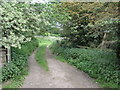

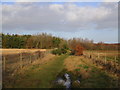
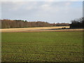

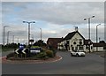
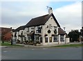

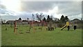
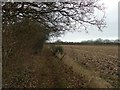

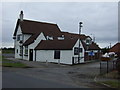
21 photos from this area
Area Information
Key information about the DN9 3AS including its size, population, and administrative classification.
- Area Type
- Postcode
- Area Size
- 5.2 hectares
- Population
- 1770
- Population Density
- 113 people/km²
House Prices in DN9 3AS
12
Properties
£120,600
Average Sold Price
£49,000
Lowest Price
£165,000
Highest Price
Showing 12 properties
| Address | Type | Beds | Baths | Last Sale Price | Last Sale Date | |
|---|---|---|---|---|---|---|
| 6 The Crescent, Blaxton, Doncaster, DN9 3AS | Bungalow | - | - | £165,000 | Sep 2023 | |
| 10 The Crescent, Blaxton, Doncaster, DN9 3AS | Bungalow | - | - | £137,500 | Apr 2016 | |
| 8 The Crescent, Blaxton, Doncaster, DN9 3AS | Bungalow | - | - | £132,500 | Mar 2016 | |
| 12 The Crescent, Blaxton, Doncaster, DN9 3AS | Bungalow | - | - | £119,000 | Feb 2014 | |
| 16 The Crescent, Blaxton, Doncaster, DN9 3AS | Semi-detached | - | - | £49,000 | Jun 2000 | |
| Basketball Court, Informal Land, Bank End Road, Blaxton, Doncaster, DN9 3AS | Leisure | - | - | - | - | |
| 3 The Crescent, Blaxton, Doncaster, DN9 3AS | Detached | - | - | - | - | |
| 1 The Crescent, Blaxton, Doncaster, DN9 3AS | Detached | - | - | - | - | |
| 14 The Crescent, Blaxton, Doncaster, DN9 3AS | Detached | - | - | - | - | |
| 2 The Crescent, Blaxton, Doncaster, DN9 3AS | Detached | - | - | - | - |
Page 1 of 2
Energy Efficiency in DN9 3AS
Amenities
Schools
| Rank | School | Type | Entry gender | Ages |
|---|
Explore more schools in this area
Go to Schools tabDemographics
Household Size
Two person
most common
Accommodation Type
Houses
most common
Tenure
88
majority
Ethnic Group
White
most common
Religion
N/A
most common
Household Composition
N/A
most common
Age
47
median
Adults (30-64 years)
most common
Household Deprivation
N/A
with no deprivation
NS-SEC
38
in Lower managerial occupations
Explore more demographic insights in this area
Go to Demographics tabPlanning
Planning Constraints
- Flood RiskPremium
- Ramsar Wetland SitesPremium
- Area of Outstanding Natural BeautyPremium
- Protected Nature ReservePremium
- Protected WoodlandPremium