Area Overview for DN20 9NF
Photos of DN20 9NF
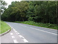
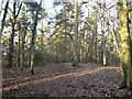
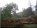
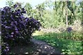
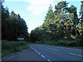
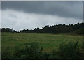
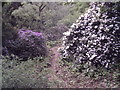
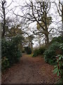
12 photos from this area
Area Information
Key information about the DN20 9NF including its size, population, and administrative classification.
- Area Type
- Postcode
- Area Size
- 23.3 hectares
- Population
- 1442
- Population Density
- 26 people/km²
House Prices in DN20 9NF
21
Properties
£151,506
Average Sold Price
£41,500
Lowest Price
£285,000
Highest Price
Showing 21 properties
| Address | Type | Beds | Baths | Last Sale Price | Last Sale Date | |
|---|---|---|---|---|---|---|
| 46 Kirton Road, Greetwell, DN20 9NF | Detached | 3 | 1 | £285,000 | Jul 2017 | |
| 44 Kirton Road, Greetwell, DN20 9NF | Detached | 3 | 1 | £178,000 | Mar 2016 | |
| Carmen House, 38 Kirton Road, Greetwell, DN20 9NF | Semi-detached | 3 | - | £136,050 | Mar 2016 | |
| 58 Kirton Road, Greetwell, DN20 9NF | Bungalow | - | - | £174,000 | Feb 2016 | |
| Timberlands, 32 Kirton Road, Greetwell, DN20 9NF | Semi-detached | 3 | - | £112,000 | Sep 2014 | |
| The Bungalow, 48 Kirton Road, Greetwell, DN20 9NF | Bungalow | - | - | £130,000 | Jan 2014 | |
| Twigmoor View, 44A Kirton Road, Greetwell, DN20 9NF | house | - | - | £195,000 | Oct 2012 | |
| Eveholm, 54 Kirton Road, Greetwell, DN20 9NF | Detached | - | - | £112,000 | May 2012 | |
| 34 Kirton Road, Greetwell, DN20 9NF | Semi-detached | - | - | £41,500 | Jun 1997 | |
| Lodge End, 56 Kirton Road, Greetwell, DN20 9NF | Bungalow | 1 | - | - | - |
Page 1 of 3
Energy Efficiency in DN20 9NF
Amenities
Schools
| Rank | School | Type | Entry gender | Ages |
|---|
Explore more schools in this area
Go to Schools tabDemographics
Household Size
Two person
most common
Accommodation Type
Houses
most common
Tenure
83
majority
Ethnic Group
White
most common
Religion
N/A
most common
Household Composition
N/A
most common
Age
47
median
Adults (30-64 years)
most common
Household Deprivation
N/A
with no deprivation
NS-SEC
35
in Lower managerial occupations
Explore more demographic insights in this area
Go to Demographics tabPlanning
Planning Constraints
- Flood RiskPremium
- Ramsar Wetland SitesPremium
- Area of Outstanding Natural BeautyPremium
- Protected Nature ReservePremium
- Protected WoodlandPremium