Area Overview for DN20 8SP
Photos of DN20 8SP
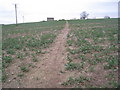
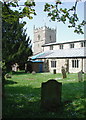
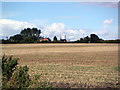
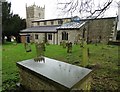
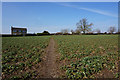
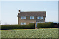
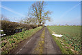
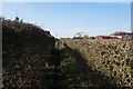
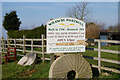
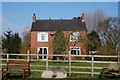
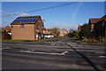
49 photos from this area
Area Information
Key information about the DN20 8SP including its size, population, and administrative classification.
- Area Type
- Postcode
- Area Size
- 4.2 hectares
- Population
- 1773
- Population Density
- 158 people/km²
House Prices in DN20 8SP
20
Properties
£164,933
Average Sold Price
£64,000
Lowest Price
£335,000
Highest Price
Showing 20 properties
| Address | Type | Beds | Baths | Last Sale Price | Last Sale Date | |
|---|---|---|---|---|---|---|
| The Homestead, Melton Road, Wrawby, DN20 8SP | Semi-detached | 3 | 2 | £280,000 | Jan 2024 | |
| Fernlea, Melton Road, Wrawby, DN20 8SP | Detached | 2 | 1 | £178,000 | Nov 2021 | |
| Leyton Cottage, Melton Road, Wrawby, DN20 8SP | house | - | - | £151,000 | May 2021 | |
| Welford Lodge, Melton Road, Wrawby, DN20 8SP | Detached | - | - | £335,000 | Sep 2012 | |
| Four Winds, Melton Road, Wrawby, DN20 8SP | Detached | 2 | - | £147,500 | May 2011 | |
| Millview, Melton Road, Wrawby, DN20 8SP | Semi-detached | - | - | £153,000 | Mar 2008 | |
| Denleigh, Melton Road, Wrawby, DN20 8SP | Semi-detached | - | - | £111,500 | Dec 2003 | |
| The Hollies, Melton Road, Wrawby, DN20 8SP | Semi-detached | - | - | £64,400 | Sep 1999 | |
| Devovere, Melton Road, Wrawby, DN20 8SP | Detached | - | - | £64,000 | Jan 1999 | |
| Gemi, Melton Road, Wrawby, DN20 8SP | Detached | 5 | 2 | - | - |
Page 1 of 2
Energy Efficiency in DN20 8SP
Amenities
Schools
| Rank | School | Type | Entry gender | Ages |
|---|
Explore more schools in this area
Go to Schools tabDemographics
Household Size
Two person
most common
Accommodation Type
Houses
most common
Tenure
83
majority
Ethnic Group
White
most common
Religion
N/A
most common
Household Composition
N/A
most common
Age
47
median
Adults (30-64 years)
most common
Household Deprivation
N/A
with no deprivation
NS-SEC
37
in Lower managerial occupations
Explore more demographic insights in this area
Go to Demographics tabPlanning
Planning Constraints
- Flood RiskPremium
- Ramsar Wetland SitesPremium
- Area of Outstanding Natural BeautyPremium
- Protected Nature ReservePremium
- Protected WoodlandPremium