Area Overview for DN20 8HN
Photos of DN20 8HN
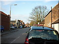
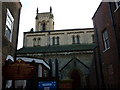
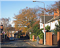
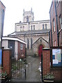
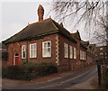
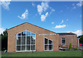
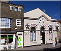
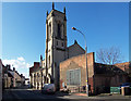
100 photos from this area
Area Information
Key information about the DN20 8HN including its size, population, and administrative classification.
- Area Type
- Postcode
- Area Size
- 5846 m²
- Population
- 1688
- Population Density
- 1722 people/km²
House Prices in DN20 8HN
8
Properties
£164,375
Average Sold Price
£75,000
Lowest Price
£290,000
Highest Price
Showing 8 properties
| Address | Type | Beds | Baths | Last Sale Price | Last Sale Date | |
|---|---|---|---|---|---|---|
| Merivale, Bigby Road, Brigg, DN20 8HN | Detached | 4 | 2 | £290,000 | Aug 2017 | |
| Old Presbytery, Bigby Road, Brigg, DN20 8HN | Semi-detached | 6 | 2 | £259,000 | Dec 2016 | |
| Eastholme, Bigby Road, Brigg, DN20 8HN | Detached | 4 | 2 | £255,000 | Mar 2016 | |
| Thornsett, Bigby Road, Brigg, DN20 8HN | house | - | - | £186,000 | Aug 2015 | |
| Woodstock, Bigby Road, Brigg, DN20 8HN | Semi-detached | - | - | £80,000 | Mar 2001 | |
| The Gables, Bigby Road, Brigg, DN20 8HN | Semi-detached | - | - | £91,500 | Aug 2000 | |
| Rockhurst, Bigby Road, Brigg, DN20 8HN | Semi-detached | - | - | £75,000 | Apr 1997 | |
| Inglenook, Bigby Road, Brigg, DN20 8HN | Semi-detached | - | - | £78,500 | Jun 1996 |
Energy Efficiency in DN20 8HN
Amenities
Schools
| Rank | School | Type | Entry gender | Ages |
|---|
Explore more schools in this area
Go to Schools tabDemographics
Household Size
Two person
most common
Accommodation Type
Houses
most common
Tenure
85
majority
Ethnic Group
White
most common
Religion
N/A
most common
Household Composition
N/A
most common
Age
47
median
Adults (30-64 years)
most common
Household Deprivation
N/A
with no deprivation
NS-SEC
34
in Lower managerial occupations
Explore more demographic insights in this area
Go to Demographics tabPlanning
Planning Constraints
- Flood RiskPremium
- Ramsar Wetland SitesPremium
- Area of Outstanding Natural BeautyPremium
- Protected Nature ReservePremium
- Protected WoodlandPremium