Area Overview for DN20 8HS
Photos of DN20 8HS
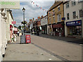
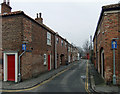
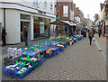
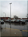
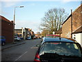
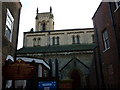
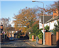
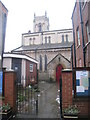
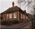
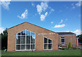
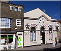
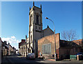
100 photos from this area
Area Information
Key information about the DN20 8HS including its size, population, and administrative classification.
- Area Type
- Postcode
- Area Size
- 8795 m²
- Population
- 1700
- Population Density
- 1337 people/km²
House Prices in DN20 8HS
41
Properties
£134,976
Average Sold Price
£33,000
Lowest Price
£260,000
Highest Price
Showing 41 properties
| Address | Type | Beds | Baths | Last Sale Price | Last Sale Date | |
|---|---|---|---|---|---|---|
| 17 Albert Street, Brigg, DN20 8HS | Terraced | 2 | 1 | £151,000 | Aug 2025 | |
| 25 Albert Street, Brigg, DN20 8HS | Terraced | 2 | 1 | £100,000 | Apr 2025 | |
| 31 Albert Street, Brigg, DN20 8HS | Terraced | 2 | 1 | £120,000 | Feb 2025 | |
| 8 Albert Street, Brigg, DN20 8HS | Terraced | 3 | 1 | £160,000 | Feb 2025 | |
| 27 Albert Street, Brigg, DN20 8HS | Terraced | 2 | 1 | £102,000 | May 2024 | |
| Point House, Albert Street, Brigg, DN20 8HS | Semi-detached | 2 | 1 | £174,000 | Apr 2024 | |
| 22 Albert Street, Brigg, DN20 8HS | Terraced | 2 | 2 | £116,000 | Aug 2023 | |
| 5A Albert Street, Brigg, DN20 8HS | Flat | 1 | 1 | £56,000 | Jul 2023 | |
| 1 Albert Street, Brigg, DN20 8HS | Terraced | 4 | 2 | £260,000 | Jan 2023 | |
| 23 Albert Street, Brigg, DN20 8HS | house | - | - | £129,000 | Jan 2023 |
Page 1 of 5
Energy Efficiency in DN20 8HS
Amenities
Schools
| Rank | School | Type | Entry gender | Ages |
|---|
Explore more schools in this area
Go to Schools tabDemographics
Household Size
One person
most common
Accommodation Type
Houses
most common
Tenure
47
majority
Ethnic Group
White
most common
Religion
N/A
most common
Household Composition
N/A
most common
Age
47
median
Adults (30-64 years)
most common
Household Deprivation
N/A
with no deprivation
NS-SEC
21
in Lower managerial occupations
Explore more demographic insights in this area
Go to Demographics tabPlanning
Planning Constraints
- Flood RiskPremium
- Ramsar Wetland SitesPremium
- Area of Outstanding Natural BeautyPremium
- Protected Nature ReservePremium
- Protected WoodlandPremium