Area Overview for DN20 0SJ
Photos of DN20 0SJ
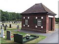
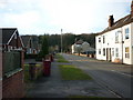
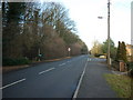
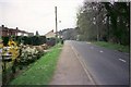
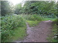
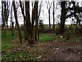
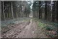
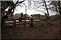
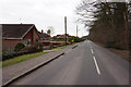
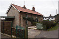
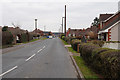
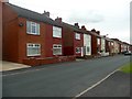
31 photos from this area
Area Information
Key information about the DN20 0SJ including its size, population, and administrative classification.
- Area Type
- Postcode
- Area Size
- 1.4 hectares
- Population
- 1595
- Population Density
- 2364 people/km²
House Prices in DN20 0SJ
24
Properties
£78,488
Average Sold Price
£1,100
Lowest Price
£113,000
Highest Price
Showing 24 properties
| Address | Type | Beds | Baths | Last Sale Price | Last Sale Date | |
|---|---|---|---|---|---|---|
| 12 Trinity Court, Broughton, DN20 0SJ | Terraced | 2 | 1 | £113,000 | May 2024 | |
| 22 Trinity Court, Broughton, DN20 0SJ | Terraced | 2 | 1 | £105,000 | Jan 2022 | |
| 25 Trinity Court, Broughton, DN20 0SJ | Terraced | 2 | 1 | £96,000 | Mar 2021 | |
| 14 Trinity Court, Broughton, DN20 0SJ | Terraced | 2 | 1 | £97,000 | Jan 2020 | |
| 9 Trinity Court, Broughton, DN20 0SJ | Terraced | 3 | 1 | £111,000 | Aug 2019 | |
| 18 Trinity Court, Broughton, DN20 0SJ | house | - | - | £1,100 | May 2019 | |
| 20 Trinity Court, Broughton, DN20 0SJ | Terraced | 3 | 1 | £93,500 | Sep 2011 | |
| 21 Trinity Court, Broughton, DN20 0SJ | Terraced | 3 | 1 | £88,500 | Oct 2009 | |
| 16 Trinity Court, Broughton, DN20 0SJ | Terraced | - | - | £90,500 | May 2007 | |
| 23 Trinity Court, Broughton, DN20 0SJ | house | - | - | £90,250 | Apr 2007 |
Page 1 of 3
Energy Efficiency in DN20 0SJ
Amenities
Schools
| Rank | School | Type | Entry gender | Ages |
|---|
Explore more schools in this area
Go to Schools tabDemographics
Household Size
Two person
most common
Accommodation Type
Houses
most common
Tenure
67
majority
Ethnic Group
White
most common
Religion
N/A
most common
Household Composition
N/A
most common
Age
47
median
Adults (30-64 years)
most common
Household Deprivation
N/A
with no deprivation
NS-SEC
26
in Lower managerial occupations
Explore more demographic insights in this area
Go to Demographics tabPlanning
Planning Constraints
- Flood RiskPremium
- Ramsar Wetland SitesPremium
- Area of Outstanding Natural BeautyPremium
- Protected Nature ReservePremium
- Protected WoodlandPremium