Area Overview for DN20 0NA
Photos of DN20 0NA
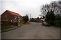
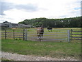
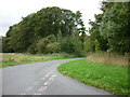
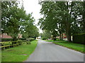
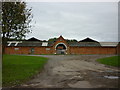
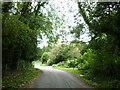
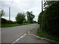
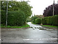
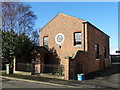
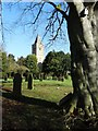
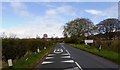
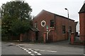
47 photos from this area
Area Information
Key information about the DN20 0NA including its size, population, and administrative classification.
- Area Type
- Postcode
- Area Size
- 1.5 hectares
- Population
- 1218
- Population Density
- 34 people/km²
House Prices in DN20 0NA
12
Properties
£187,643
Average Sold Price
£58,000
Lowest Price
£500,000
Highest Price
Showing 12 properties
| Address | Type | Beds | Baths | Last Sale Price | Last Sale Date | |
|---|---|---|---|---|---|---|
| 31 Low Road, Worlaby, DN20 0NA | Semi-detached | 2 | 1 | £190,000 | Sep 2024 | |
| 29 Low Road, Worlaby, DN20 0NA | Detached | 5 | 4 | £500,000 | Jun 2019 | |
| Furstholme, 52 Low Road, Worlaby, DN20 0NA | Bungalow | - | - | £152,000 | Nov 2009 | |
| The Covey, 70 Low Road, Worlaby, DN20 0NA | Semi-detached | - | - | £164,500 | Dec 2003 | |
| 33 Low Road, Worlaby, DN20 0NA | Semi-detached | 3 | - | £60,000 | Jul 2002 | |
| The Grange, Low Road, Worlaby, DN20 0NA | house | - | - | £189,000 | Sep 2001 | |
| 35 Low Road, Worlaby, DN20 0NA | Bungalow | - | - | £58,000 | Jun 1998 | |
| Wayside, Low Road, Worlaby, DN20 0NA | Semi-detached | - | - | - | - | |
| 37 Low Road, Worlaby, DN20 0NA | Bungalow | - | - | - | - | |
| 39 Low Road, Worlaby, DN20 0NA | Semi-detached | - | - | - | - |
Page 1 of 2
Energy Efficiency in DN20 0NA
Amenities
Schools
| Rank | School | Type | Entry gender | Ages |
|---|
Explore more schools in this area
Go to Schools tabDemographics
Household Size
Two person
most common
Accommodation Type
Houses
most common
Tenure
76
majority
Ethnic Group
White
most common
Religion
N/A
most common
Household Composition
N/A
most common
Age
47
median
Adults (30-64 years)
most common
Household Deprivation
N/A
with no deprivation
NS-SEC
39
in Lower managerial occupations
Explore more demographic insights in this area
Go to Demographics tabPlanning
Planning Constraints
- Flood RiskPremium
- Ramsar Wetland SitesPremium
- Area of Outstanding Natural BeautyPremium
- Protected Nature ReservePremium
- Protected WoodlandPremium