Area Overview for DN20 0PL
Photos of DN20 0PL
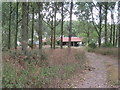
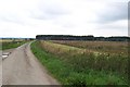
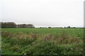
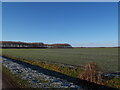
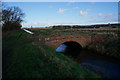
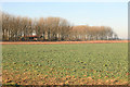
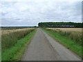
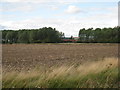
8 photos from this area
Area Information
Key information about the DN20 0PL including its size, population, and administrative classification.
- Area Type
- Postcode
- Area Size
- 7.6 km²
- Population
- 1207
- Population Density
- 41 people/km²
House Prices in DN20 0PL
40
Properties
£218,833
Average Sold Price
£37,000
Lowest Price
£410,000
Highest Price
Showing 40 properties
| Address | Type | Beds | Baths | Last Sale Price | Last Sale Date | |
|---|---|---|---|---|---|---|
| 42 Main Street, Bonby, DN20 0PL | Bungalow | 3 | 1 | £255,000 | Nov 2023 | |
| Lindisfarne, Access Road To Glovers Farm, Bonby, DN20 0PL | house | - | - | £350,000 | Feb 2022 | |
| 12 Main Street, Bonby, DN20 0PL | house | 4 | 1 | £325,000 | Sep 2021 | |
| Ashdene, 43 Main Street, Bonby, DN20 0PL | house | - | - | £375,000 | Sep 2021 | |
| Shamrock House, 36 Main Street, Bonby, DN20 0PL | house | - | - | £255,000 | Oct 2019 | |
| 7 Main Street, Bonby, DN20 0PL | house | - | - | £135,000 | Oct 2019 | |
| 14 Main Street, Bonby, DN20 0PL | Bungalow | 3 | 1 | £218,000 | Jun 2018 | |
| 38 Main Street, Bonby, DN20 0PL | house | - | - | £216,356 | Nov 2017 | |
| Rosedale, 35 Main Street, Bonby, DN20 0PL | house | - | - | £275,000 | Aug 2017 | |
| 11 Main Street, Bonby, DN20 0PL | Cottage | 4 | - | £192,000 | Nov 2015 |
Page 1 of 4
Energy Efficiency in DN20 0PL
Amenities
Schools
| Rank | School | Type | Entry gender | Ages |
|---|
Explore more schools in this area
Go to Schools tabDemographics
Household Size
Two person
most common
Accommodation Type
Houses
most common
Tenure
70
majority
Ethnic Group
White
most common
Religion
N/A
most common
Household Composition
N/A
most common
Age
47
median
Adults (30-64 years)
most common
Household Deprivation
N/A
with no deprivation
NS-SEC
34
in Lower managerial occupations
Explore more demographic insights in this area
Go to Demographics tabPlanning
Planning Constraints
- Flood RiskPremium
- Ramsar Wetland SitesPremium
- Area of Outstanding Natural BeautyPremium
- Protected Nature ReservePremium
- Protected WoodlandPremium