Area Overview for DN20 0HF
Photos of DN20 0HF
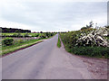
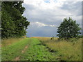
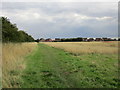
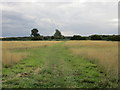
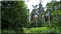
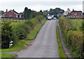
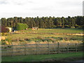
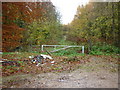
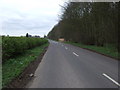
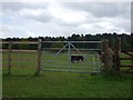
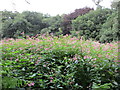
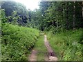
14 photos from this area
Area Information
Key information about the DN20 0HF including its size, population, and administrative classification.
- Area Type
- Postcode
- Area Size
- 9029 m²
- Population
- 1427
- Population Density
- 1818 people/km²
House Prices in DN20 0HF
20
Properties
£183,295
Average Sold Price
£38,500
Lowest Price
£269,000
Highest Price
Showing 20 properties
| Address | Type | Beds | Baths | Last Sale Price | Last Sale Date | |
|---|---|---|---|---|---|---|
| 14 Town Hill Drive, Broughton, DN20 0HF | Detached | 3 | - | £225,000 | Aug 2022 | |
| 12 Town Hill Drive, Broughton, DN20 0HF | Detached | 4 | 2 | £269,000 | Jun 2020 | |
| 32 Town Hill Drive, Broughton, DN20 0HF | Detached | 3 | 1 | £145,000 | Jan 2020 | |
| 10 Town Hill Drive, Broughton, DN20 0HF | Detached | 4 | 1 | £190,000 | Jan 2020 | |
| 22 Town Hill Drive, Broughton, DN20 0HF | house | - | - | £139,500 | Dec 2019 | |
| 2 Town Hill Drive, Broughton, DN20 0HF | Detached | 3 | 1 | £214,950 | Jun 2017 | |
| 36 Town Hill Drive, Broughton, DN20 0HF | house | 3 | 1 | £143,000 | Apr 2016 | |
| 2A Town Hill Drive, Broughton, DN20 0HF | house | 4 | - | £218,000 | May 2011 | |
| 4 Town Hill Drive, Broughton, DN20 0HF | Detached | - | - | £250,000 | Feb 2007 | |
| 28 Town Hill Drive, Broughton, DN20 0HF | house | - | - | £38,500 | Jun 1996 |
Page 1 of 2
Energy Efficiency in DN20 0HF
Amenities
Schools
| Rank | School | Type | Entry gender | Ages |
|---|
Explore more schools in this area
Go to Schools tabDemographics
Household Size
Two person
most common
Accommodation Type
Houses
most common
Tenure
82
majority
Ethnic Group
White
most common
Religion
N/A
most common
Household Composition
N/A
most common
Age
47
median
Adults (30-64 years)
most common
Household Deprivation
N/A
with no deprivation
NS-SEC
27
in Lower managerial occupations
Explore more demographic insights in this area
Go to Demographics tabPlanning
Planning Constraints
- Flood RiskPremium
- Ramsar Wetland SitesPremium
- Area of Outstanding Natural BeautyPremium
- Protected Nature ReservePremium
- Protected WoodlandPremium