Area Overview for DN20 0HD
Photos of DN20 0HD
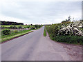
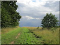
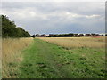
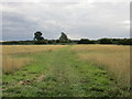
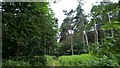
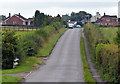
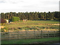
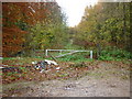
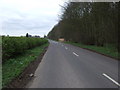
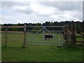
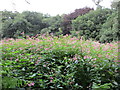
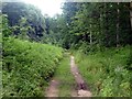
14 photos from this area
Area Information
Key information about the DN20 0HD including its size, population, and administrative classification.
- Area Type
- Postcode
- Area Size
- 4.7 hectares
- Population
- 1427
- Population Density
- 1818 people/km²
House Prices in DN20 0HD
33
Properties
£159,680
Average Sold Price
£50,000
Lowest Price
£299,950
Highest Price
Showing 33 properties
| Address | Type | Beds | Baths | Last Sale Price | Last Sale Date | |
|---|---|---|---|---|---|---|
| 42 Town Hill, Broughton, DN20 0HD | Detached | 3 | 1 | £180,000 | Oct 2024 | |
| 50 Town Hill, Broughton, DN20 0HD | Bungalow | 3 | 2 | £299,950 | Jan 2023 | |
| 20 Town Hill, Broughton, DN20 0HD | Bungalow | - | - | £213,000 | Oct 2022 | |
| 44 Town Hill, Broughton, DN20 0HD | Bungalow | - | - | £180,000 | Feb 2022 | |
| 10 Town Hill, Broughton, DN20 0HD | Bungalow | - | - | £225,000 | Aug 2021 | |
| 58 Town Hill, Broughton, DN20 0HD | Bungalow | 2 | 2 | £160,000 | May 2021 | |
| 46 Town Hill, Broughton, DN20 0HD | Bungalow | 2 | 1 | £164,000 | Mar 2019 | |
| 26 Town Hill, Broughton, DN20 0HD | house | - | - | £186,000 | Dec 2016 | |
| 56 Town Hill, Broughton, DN20 0HD | Bungalow | 3 | - | £163,000 | Dec 2016 | |
| 12 Town Hill, Broughton, DN20 0HD | Bungalow | 3 | 1 | £140,000 | Dec 2016 |
Page 1 of 4
Energy Efficiency in DN20 0HD
Amenities
Schools
| Rank | School | Type | Entry gender | Ages |
|---|
Explore more schools in this area
Go to Schools tabDemographics
Household Size
Two person
most common
Accommodation Type
Houses
most common
Tenure
82
majority
Ethnic Group
White
most common
Religion
N/A
most common
Household Composition
N/A
most common
Age
47
median
Adults (30-64 years)
most common
Household Deprivation
N/A
with no deprivation
NS-SEC
27
in Lower managerial occupations
Explore more demographic insights in this area
Go to Demographics tabPlanning
Planning Constraints
- Flood RiskPremium
- Ramsar Wetland SitesPremium
- Area of Outstanding Natural BeautyPremium
- Protected Nature ReservePremium
- Protected WoodlandPremium