Area Overview for DN17 4SA
Photos of DN17 4SA

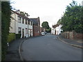
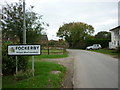
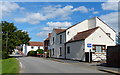
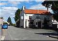
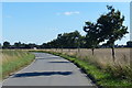
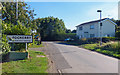
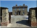
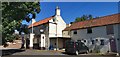
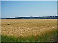
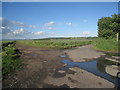
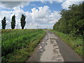
31 photos from this area
Area Information
Key information about the DN17 4SA including its size, population, and administrative classification.
- Area Type
- Postcode
- Area Size
- 9.9 hectares
- Population
- 1535
- Population Density
- 34 people/km²
House Prices in DN17 4SA
25
Properties
£160,397
Average Sold Price
£76,950
Lowest Price
£297,500
Highest Price
Showing 25 properties
| Address | Type | Beds | Baths | Last Sale Price | Last Sale Date | |
|---|---|---|---|---|---|---|
| The Cottage, Station Road, Garthorpe, DN17 4SA | house | 2 | 2 | £220,000 | Aug 2024 | |
| Sycamore House, Station Road, Garthorpe, DN17 4SA | Detached | 4 | 2 | £297,500 | Oct 2022 | |
| Fockerby Lodge, Station Road, Garthorpe, DN17 4SA | Land | 3 | - | £215,000 | Aug 2017 | |
| Westfield House, Station Road, Garthorpe, DN17 4SA | house | - | - | £150,000 | Jun 2017 | |
| Croft House, Station Road, Garthorpe, DN17 4SA | Detached | - | - | £90,000 | Jul 2016 | |
| Mistletoe Cottage, Station Road, Garthorpe, DN17 4SA | house | - | - | £162,000 | Mar 2016 | |
| Ash Tree House, Station Road, Garthorpe, DN17 4SA | Detached | 4 | 1 | £212,000 | Jul 2015 | |
| New House, Station Road, Garthorpe, DN17 4SA | Detached | 4 | - | £200,000 | Jun 2015 | |
| River Cottage, Station Road, Garthorpe, DN17 4SA | Detached | 3 | - | £147,500 | Sep 2013 | |
| Norahs Cottage, Station Road, Garthorpe, DN17 4SA | Detached | - | - | £193,500 | Apr 2013 |
Page 1 of 3
Energy Efficiency in DN17 4SA
Amenities
Schools
| Rank | School | Type | Entry gender | Ages |
|---|
Explore more schools in this area
Go to Schools tabDemographics
Household Size
Two person
most common
Accommodation Type
Houses
most common
Tenure
76
majority
Ethnic Group
White
most common
Religion
N/A
most common
Household Composition
N/A
most common
Age
47
median
Adults (30-64 years)
most common
Household Deprivation
N/A
with no deprivation
NS-SEC
30
in Lower managerial occupations
Explore more demographic insights in this area
Go to Demographics tabPlanning
Planning Constraints
- Flood RiskPremium
- Ramsar Wetland SitesPremium
- Area of Outstanding Natural BeautyPremium
- Protected Nature ReservePremium
- Protected WoodlandPremium