Area Overview for BD5 9BL
Photos of BD5 9BL
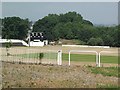
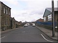
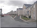
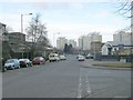
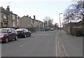
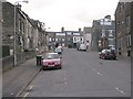
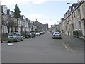
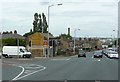
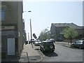
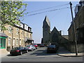
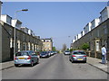
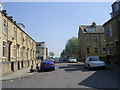
100 photos from this area
Area Information
Key information about the BD5 9BL including its size, population, and administrative classification.
- Area Type
- Postcode
- Area Size
- 7245 m²
- Population
- 2075
- Population Density
- 10985 people/km²
House Prices in BD5 9BL
46
Properties
£61,768
Average Sold Price
£31,500
Lowest Price
£80,500
Highest Price
Showing 46 properties
| Address | Type | Beds | Baths | Last Sale Price | Last Sale Date | |
|---|---|---|---|---|---|---|
| 800 Little Horton Lane, Bradford, BD5 9BL | Terraced | 2 | 1 | £77,500 | May 2024 | |
| 712 Little Horton Lane, Bradford, BD5 9BL | house | - | - | £80,500 | Jan 2022 | |
| 780 Little Horton Lane, Bradford, BD5 9BL | house | 1 | 1 | £48,000 | Mar 2021 | |
| 778 Little Horton Lane, Bradford, BD5 9BL | Terraced | 1 | 1 | £37,500 | Aug 2018 | |
| 722 Little Horton Lane, Bradford, BD5 9BL | house | - | - | £50,000 | Apr 2018 | |
| 716 Little Horton Lane, Bradford, BD5 9BL | house | - | - | £65,000 | Mar 2018 | |
| 730 Little Horton Lane, Bradford, BD5 9BL | Flat | - | - | £77,000 | Sep 2010 | |
| 784 Little Horton Lane, Bradford, BD5 9BL | house | 1 | 1 | £59,950 | Jun 2010 | |
| 724 Little Horton Lane, Bradford, BD5 9BL | house | - | - | £75,000 | Nov 2009 | |
| 788 Little Horton Lane, Bradford, BD5 9BL | Terraced | - | - | £77,500 | Nov 2007 |
Page 1 of 5
Energy Efficiency in BD5 9BL
Amenities
Schools
| Rank | School | Type | Entry gender | Ages |
|---|
Explore more schools in this area
Go to Schools tabDemographics
Household Size
Family (3-5 people)
most common
Accommodation Type
Houses
most common
Tenure
34
majority
Ethnic Group
asian_total
most common
Religion
N/A
most common
Household Composition
N/A
most common
Age
22
median
Adults (30-64 years)
most common
Household Deprivation
N/A
with no deprivation
NS-SEC
8
in Lower managerial occupations
Explore more demographic insights in this area
Go to Demographics tabPlanning
Planning Constraints
- Flood RiskPremium
- Ramsar Wetland SitesPremium
- Area of Outstanding Natural BeautyPremium
- Protected Nature ReservePremium
- Protected WoodlandPremium