Area Overview for BD5 9DG
Photos of BD5 9DG
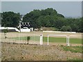
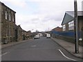
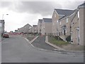
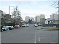
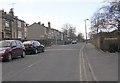
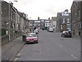
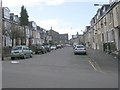
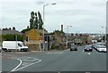
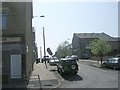
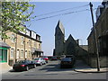
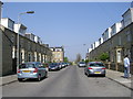
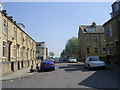
100 photos from this area
Area Information
Key information about the BD5 9DG including its size, population, and administrative classification.
- Area Type
- Postcode
- Area Size
- 6453 m²
- Population
- 2075
- Population Density
- 10985 people/km²
House Prices in BD5 9DG
27
Properties
£38,250
Average Sold Price
£9,000
Lowest Price
£70,000
Highest Price
Showing 27 properties
| Address | Type | Beds | Baths | Last Sale Price | Last Sale Date | |
|---|---|---|---|---|---|---|
| 814 Little Horton Lane, Bradford, BD5 9DG | Terraced | 1 | 1 | £70,000 | Feb 2025 | |
| 842 Little Horton Lane, Bradford, BD5 9DG | Bungalow | 1 | 1 | £45,000 | Jun 2024 | |
| 818 Little Horton Lane, Bradford, BD5 9DG | Terraced | 2 | 2 | £44,000 | Jun 2017 | |
| 824 Little Horton Lane, Bradford, BD5 9DG | Cottage | 2 | 1 | £36,250 | Jun 2013 | |
| 820 Little Horton Lane, Bradford, BD5 9DG | house | 2 | - | £65,000 | Jul 2012 | |
| 832 Little Horton Lane, Bradford, BD5 9DG | Terraced | 1 | - | £35,000 | Jan 2012 | |
| 844 Little Horton Lane, Bradford, BD5 9DG | Bungalow | 1 | 1 | £42,500 | Jan 2007 | |
| 838 Little Horton Lane, Bradford, BD5 9DG | house | - | - | £33,000 | Mar 2005 | |
| 826 Little Horton Lane, Bradford, BD5 9DG | Terraced | - | - | £45,000 | Feb 2005 | |
| 830 Little Horton Lane, Bradford, BD5 9DG | Terraced | - | - | £22,500 | Dec 2002 |
Page 1 of 3
Energy Efficiency in BD5 9DG
Amenities
Schools
| Rank | School | Type | Entry gender | Ages |
|---|
Explore more schools in this area
Go to Schools tabDemographics
Household Size
Family (3-5 people)
most common
Accommodation Type
Houses
most common
Tenure
34
majority
Ethnic Group
asian_total
most common
Religion
N/A
most common
Household Composition
N/A
most common
Age
22
median
Adults (30-64 years)
most common
Household Deprivation
N/A
with no deprivation
NS-SEC
8
in Lower managerial occupations
Explore more demographic insights in this area
Go to Demographics tabPlanning
Planning Constraints
- Flood RiskPremium
- Ramsar Wetland SitesPremium
- Area of Outstanding Natural BeautyPremium
- Protected Nature ReservePremium
- Protected WoodlandPremium