Area Overview for BD23 5HQ
Photos of BD23 5HQ
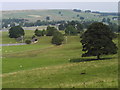
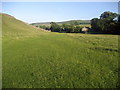
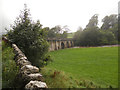
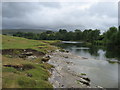
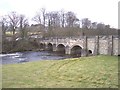
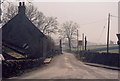
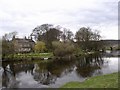
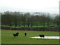
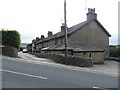
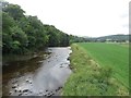
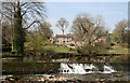
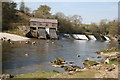
108 photos from this area
Area Information
Key information about the BD23 5HQ including its size, population, and administrative classification.
- Area Type
- Postcode
- Area Size
- 22.8 hectares
- Population
- 1528
- Population Density
- 32 people/km²
House Prices in BD23 5HQ
16
Properties
£237,500
Average Sold Price
£80,000
Lowest Price
£550,000
Highest Price
Showing 16 properties
| Address | Type | Beds | Baths | Last Sale Price | Last Sale Date | |
|---|---|---|---|---|---|---|
| Linbeck, Lauradale Lane, Linton, BD23 5HQ | house | - | - | £550,000 | Nov 2021 | |
| Linton House, Lauradale Lane, Linton, BD23 5HQ | house | - | - | £82,500 | Dec 2017 | |
| Farkentree Barn, Lauradale Lane, Linton, BD23 5HQ | house | - | - | £80,000 | Dec 2017 | |
| Manor House Farm, Lauradale Lane, Linton, BD23 5HQ | Detached | 4 | 2 | - | - | |
| New Laithe, Linton Hall Farm, Lauradale Lane, Linton, BD23 5HQ | Terraced | - | - | - | - | |
| High Laithe, Linton Hall Farm, Lauradale Lane, Linton, BD23 5HQ | Terraced | - | - | - | - | |
| Linton Hall Farm, Lauradale Lane, Linton, BD23 5HQ | Terraced | - | - | - | - | |
| Linton Hall, Lauradale Lane, Linton, BD23 5HQ | Detached | - | - | - | - | |
| Lyn Bank, Lauradale Lane, Linton, BD23 5HQ | house | - | - | - | - | |
| Linton Hall Cottage, Lauradale Lane, Linton, BD23 5HQ | Terraced | - | - | - | - |
Page 1 of 2
Energy Efficiency in BD23 5HQ
Amenities
Schools
| Rank | School | Type | Entry gender | Ages |
|---|
Explore more schools in this area
Go to Schools tabDemographics
Household Size
One person
most common
Accommodation Type
Houses
most common
Tenure
70
majority
Ethnic Group
White
most common
Religion
N/A
most common
Household Composition
N/A
most common
Age
47
median
Adults (30-64 years)
most common
Household Deprivation
N/A
with no deprivation
NS-SEC
40
in Lower managerial occupations
Explore more demographic insights in this area
Go to Demographics tabPlanning
Planning Constraints
- Flood RiskPremium
- Ramsar Wetland SitesPremium
- Area of Outstanding Natural BeautyPremium
- Protected Nature ReservePremium
- Protected WoodlandPremium