Area Overview for BD23 5HH
Photos of BD23 5HH
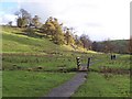
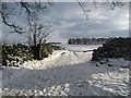
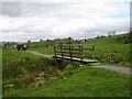
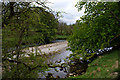
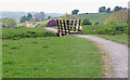
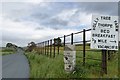
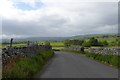
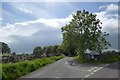
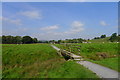
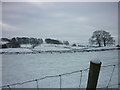
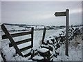
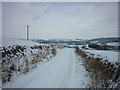
87 photos from this area
Area Information
Key information about the BD23 5HH including its size, population, and administrative classification.
- Area Type
- Postcode
- Area Size
- 56.6 hectares
- Population
- 1528
- Population Density
- 32 people/km²
House Prices in BD23 5HH
26
Properties
£404,278
Average Sold Price
£186,500
Lowest Price
£665,000
Highest Price
Showing 26 properties
| Address | Type | Beds | Baths | Last Sale Price | Last Sale Date | |
|---|---|---|---|---|---|---|
| PRIMROSE COTTAGE, LITTLE VILLAGE LANE TO GRANGE COTTAGE, Linton, Skipton, BD23 5HH | Cottage | 1 | 1 | £210,000 | Sep 2021 | |
| Ivy Cottage, Lauradale Lane, Linton, BD23 5HH | house | - | - | £460,000 | May 2021 | |
| Linton Beck Barn, Little Village Road, Linton, BD23 5HH | house | - | - | £460,000 | Dec 2020 | |
| Brows View, Little Village Road, Linton, BD23 5HH | Semi-detached | - | - | £665,000 | Nov 2020 | |
| Fountain House, Little Village Road To Glebe Farm, Linton, BD23 5HH | house | 4 | 3 | £627,000 | Sep 2020 | |
| Stoneycroft, Little Village Road, Linton, BD23 5HH | Detached | 3 | - | £620,000 | Aug 2018 | |
| 1, Glebe Cottage, Little Village Road, Linton, BD23 5HH | Semi-detached | 1 | 1 | £186,500 | Jan 2016 | |
| Homecroft, Little Village Lane To Grange Cottage, Linton, BD23 5HH | Detached | 3 | - | £595,000 | May 2015 | |
| The Cottage, Little Village Road, Linton, BD23 5HH | house | - | - | £348,000 | Aug 2013 | |
| West Cottage, Little Village Lane To Grange Cottage, Linton, BD23 5HH | house | - | - | £267,000 | Sep 2011 |
Page 1 of 3
Energy Efficiency in BD23 5HH
Amenities
Schools
| Rank | School | Type | Entry gender | Ages |
|---|
Explore more schools in this area
Go to Schools tabDemographics
Household Size
One person
most common
Accommodation Type
Houses
most common
Tenure
70
majority
Ethnic Group
White
most common
Religion
N/A
most common
Household Composition
N/A
most common
Age
47
median
Adults (30-64 years)
most common
Household Deprivation
N/A
with no deprivation
NS-SEC
40
in Lower managerial occupations
Explore more demographic insights in this area
Go to Demographics tabPlanning
Planning Constraints
- Flood RiskPremium
- Ramsar Wetland SitesPremium
- Area of Outstanding Natural BeautyPremium
- Protected Nature ReservePremium
- Protected WoodlandPremium