Area Overview for BD22 9AB
Photos of BD22 9AB
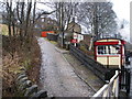
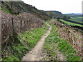
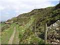
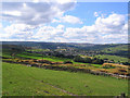
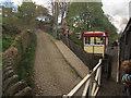
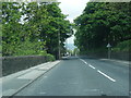
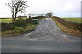
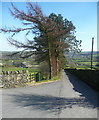
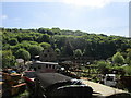
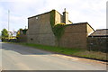
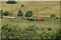
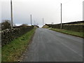
48 photos from this area
Area Information
Key information about the BD22 9AB including its size, population, and administrative classification.
- Area Type
- Postcode
- Area Size
- 8.2 hectares
- Population
- 1769
- Population Density
- 1564 people/km²
House Prices in BD22 9AB
16
Properties
£210,695
Average Sold Price
£95,000
Lowest Price
£415,000
Highest Price
Showing 16 properties
| Address | Type | Beds | Baths | Last Sale Price | Last Sale Date | |
|---|---|---|---|---|---|---|
| 20 Lingfield Drive, Keighley, BD22 9AB | Detached | 3 | 1 | £240,000 | Aug 2024 | |
| 16 Lingfield Drive, Keighley, BD22 9AB | Detached | 2 | 1 | £239,000 | Jul 2023 | |
| 2 Lingfield Drive, Keighley, BD22 9AB | house | - | - | £415,000 | Jan 2022 | |
| 22 Lingfield Drive, Keighley, BD22 9AB | Detached | 3 | 2 | £222,500 | Sep 2021 | |
| 28 Lingfield Drive, Keighley, BD22 9AB | house | - | - | £167,500 | Jan 2021 | |
| 8 Lingfield Drive, Keighley, BD22 9AB | Detached | 4 | 1 | £236,000 | Nov 2018 | |
| 18 Lingfield Drive, Keighley, BD22 9AB | house | - | - | £150,000 | Sep 2018 | |
| 32 Lingfield Drive, Keighley, BD22 9AB | Detached | - | - | £172,000 | Nov 2007 | |
| 26 Lingfield Drive, Keighley, BD22 9AB | Detached | 3 | - | £169,950 | Dec 2006 | |
| 6 Lingfield Drive, Keighley, BD22 9AB | Detached | - | - | £95,000 | Dec 2001 |
Page 1 of 2
Energy Efficiency in BD22 9AB
Amenities
Schools
| Rank | School | Type | Entry gender | Ages |
|---|
Explore more schools in this area
Go to Schools tabDemographics
Household Size
Two person
most common
Accommodation Type
Houses
most common
Tenure
89
majority
Ethnic Group
White
most common
Religion
N/A
most common
Household Composition
N/A
most common
Age
47
median
Adults (30-64 years)
most common
Household Deprivation
N/A
with no deprivation
NS-SEC
34
in Lower managerial occupations
Explore more demographic insights in this area
Go to Demographics tabPlanning
Planning Constraints
- Flood RiskPremium
- Ramsar Wetland SitesPremium
- Area of Outstanding Natural BeautyPremium
- Protected Nature ReservePremium
- Protected WoodlandPremium