Area Overview for BD21 5HW
Photos of BD21 5HW
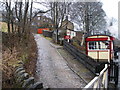
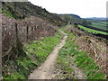
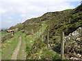
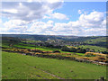
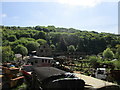
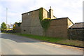

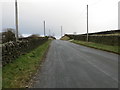
48 photos from this area
Area Information
Key information about the BD21 5HW including its size, population, and administrative classification.
- Area Type
- Postcode
- Area Size
- 7.1 hectares
- Population
- 1990
- Population Density
- 980 people/km²
House Prices in BD21 5HW
51
Properties
£96,714
Average Sold Price
£10,000
Lowest Price
£360,000
Highest Price
Showing 51 properties
| Address | Type | Beds | Baths | Last Sale Price | Last Sale Date | |
|---|---|---|---|---|---|---|
| 348, Whins Wood, Halifax Road, Keighley, BD21 5HW | Terraced | 3 | 1 | £98,000 | Aug 2025 | |
| 406, Whins Wood, Halifax Road, Keighley, BD21 5HW | Terraced | 3 | - | £135,000 | Dec 2024 | |
| 412, Whins Wood, Halifax Road, Keighley, BD21 5HW | Terraced | 3 | 1 | £103,000 | Dec 2023 | |
| 426, Whins Wood, Halifax Road, Keighley, BD21 5HW | house | - | - | £107,000 | Mar 2023 | |
| 257, Whins Wood, Halifax Road, Keighley, BD21 5HW | Terraced | 2 | 1 | £68,000 | Mar 2023 | |
| 281, Whins Wood, Halifax Road, Keighley, BD21 5HW | Terraced | 3 | 2 | £115,000 | Jan 2023 | |
| 430, Whins Wood, Halifax Road, Keighley, BD21 5HW | house | - | - | £90,000 | Jan 2022 | |
| 408, Whins Wood, Halifax Road, Keighley, BD21 5HW | Land | - | - | £126,500 | Nov 2021 | |
| 436, Whinsroyd, Whins Wood, Halifax Road, Keighley, BD21 5HW | Detached | 4 | - | £360,000 | Aug 2021 | |
| 424, Whins Wood, Halifax Road, Keighley, BD21 5HW | house | 3 | - | £92,000 | Jun 2021 |
Page 1 of 6
Energy Efficiency in BD21 5HW
Amenities
Schools
| Rank | School | Type | Entry gender | Ages |
|---|
Explore more schools in this area
Go to Schools tabDemographics
Household Size
One person
most common
Accommodation Type
Houses
most common
Tenure
51
majority
Ethnic Group
White
most common
Religion
N/A
most common
Household Composition
N/A
most common
Age
47
median
Adults (30-64 years)
most common
Household Deprivation
N/A
with no deprivation
NS-SEC
22
in Lower managerial occupations
Explore more demographic insights in this area
Go to Demographics tabPlanning
Planning Constraints
- Flood RiskPremium
- Ramsar Wetland SitesPremium
- Area of Outstanding Natural BeautyPremium
- Protected Nature ReservePremium
- Protected WoodlandPremium