Area Overview for BD22 6DW
Photos of BD22 6DW
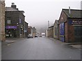
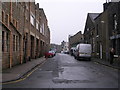
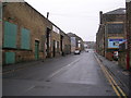
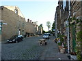
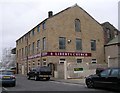
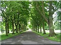
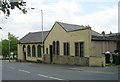
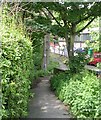
100 photos from this area
Area Information
Key information about the BD22 6DW including its size, population, and administrative classification.
- Area Type
- Postcode
- Area Size
- 1818 m²
- Population
- 1386
- Population Density
- 4109 people/km²
House Prices in BD22 6DW
8
Properties
£72,779
Average Sold Price
£46,000
Lowest Price
£121,000
Highest Price
Showing 8 properties
| Address | Type | Beds | Baths | Last Sale Price | Last Sale Date | |
|---|---|---|---|---|---|---|
| 165 Clifton Street, Keighley, BD22 6DW | Terraced | 3 | 1 | £90,000 | Jan 2019 | |
| 174 Clifton Street, Keighley, BD22 6DW | Terraced | 2 | 1 | £59,500 | Dec 2018 | |
| 161 Clifton Street, Keighley, BD22 6DW | house | - | - | £121,000 | Jun 2014 | |
| 169 Clifton Street, Keighley, BD22 6DW | house | - | - | £73,000 | Sep 2013 | |
| 167 Clifton Street, Keighley, BD22 6DW | house | - | - | £70,000 | Sep 2013 | |
| 171 Clifton Street, Keighley, BD22 6DW | Terraced | 2 | 1 | £49,950 | Apr 2000 | |
| 163 Clifton Street, Keighley, BD22 6DW | Semi-detached | - | - | £46,000 | Jun 1997 | |
| 178 Clifton Street, Keighley, BD22 6DW | Terraced | - | - | - | - |
Energy Efficiency in BD22 6DW
Amenities
Schools
| Rank | School | Type | Entry gender | Ages |
|---|
Explore more schools in this area
Go to Schools tabDemographics
Household Size
One person
most common
Accommodation Type
Houses
most common
Tenure
47
majority
Ethnic Group
White
most common
Religion
N/A
most common
Household Composition
N/A
most common
Age
47
median
Adults (30-64 years)
most common
Household Deprivation
N/A
with no deprivation
NS-SEC
18
in Lower managerial occupations
Explore more demographic insights in this area
Go to Demographics tabPlanning
Planning Constraints
- Flood RiskPremium
- Ramsar Wetland SitesPremium
- Area of Outstanding Natural BeautyPremium
- Protected Nature ReservePremium
- Protected WoodlandPremium