Area Overview for BD22 6DT
Photos of BD22 6DT
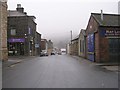
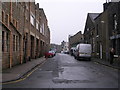
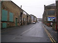
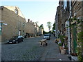
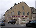
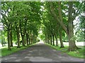
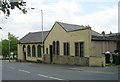
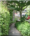
100 photos from this area
Area Information
Key information about the BD22 6DT including its size, population, and administrative classification.
- Area Type
- Postcode
- Area Size
- 2969 m²
- Population
- 1386
- Population Density
- 4109 people/km²
House Prices in BD22 6DT
25
Properties
£76,445
Average Sold Price
£27,000
Lowest Price
£133,000
Highest Price
Showing 25 properties
| Address | Type | Beds | Baths | Last Sale Price | Last Sale Date | |
|---|---|---|---|---|---|---|
| 70 Fell Lane, Keighley, BD22 6DT | Terraced | 3 | 1 | £133,000 | Jul 2024 | |
| 84 Fell Lane, Keighley, BD22 6DT | Terraced | 3 | 1 | £110,000 | Dec 2023 | |
| 94 Fell Lane, Keighley, BD22 6DT | Terraced | 3 | 1 | £113,000 | Feb 2023 | |
| 80 Fell Lane, Keighley, BD22 6DT | house | - | - | £118,000 | Jan 2022 | |
| 100 Fell Lane, Keighley, BD22 6DT | Terraced | 3 | 1 | £90,000 | Aug 2021 | |
| 82 Fell Lane, Keighley, BD22 6DT | house | - | - | £93,000 | Jun 2021 | |
| 68 Fell Lane, Keighley, BD22 6DT | Terraced | 4 | 1 | £95,000 | Jan 2018 | |
| 102 Fell Lane, Keighley, BD22 6DT | house | - | - | £59,950 | Nov 2015 | |
| 62 Fell Lane, Keighley, BD22 6DT | house | - | - | £60,500 | Sep 2013 | |
| 56 Fell Lane, Keighley, BD22 6DT | Terraced | 4 | 1 | £102,000 | Oct 2006 |
Page 1 of 3
Energy Efficiency in BD22 6DT
Amenities
Schools
| Rank | School | Type | Entry gender | Ages |
|---|
Explore more schools in this area
Go to Schools tabDemographics
Household Size
One person
most common
Accommodation Type
Houses
most common
Tenure
47
majority
Ethnic Group
White
most common
Religion
N/A
most common
Household Composition
N/A
most common
Age
47
median
Adults (30-64 years)
most common
Household Deprivation
N/A
with no deprivation
NS-SEC
18
in Lower managerial occupations
Explore more demographic insights in this area
Go to Demographics tabPlanning
Planning Constraints
- Flood RiskPremium
- Ramsar Wetland SitesPremium
- Area of Outstanding Natural BeautyPremium
- Protected Nature ReservePremium
- Protected WoodlandPremium