Area Overview for BD21 1LB
Photos of BD21 1LB
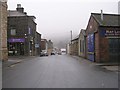
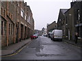
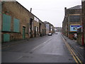
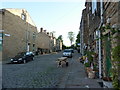
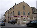
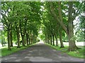
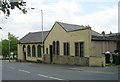
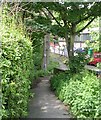
100 photos from this area
Area Information
Key information about the BD21 1LB including its size, population, and administrative classification.
- Area Type
- Postcode
- Area Size
- 8947 m²
- Population
- 1382
- Population Density
- 7511 people/km²
House Prices in BD21 1LB
21
Properties
£70,297
Average Sold Price
£19,513
Lowest Price
£119,000
Highest Price
Showing 21 properties
| Address | Type | Beds | Baths | Last Sale Price | Last Sale Date | |
|---|---|---|---|---|---|---|
| 17 Ashbourne Road, Keighley, BD21 1LB | Terraced | 2 | - | £77,500 | Sep 2024 | |
| 38 Ashbourne Road, Keighley, BD21 1LB | house | 3 | - | £119,000 | Nov 2021 | |
| 11 Ashbourne Road, Keighley, BD21 1LB | house | - | - | £100,000 | Aug 2021 | |
| 7 Ashbourne Road, Keighley, BD21 1LB | Terraced | 2 | 1 | £118,000 | Nov 2020 | |
| 26 Ashbourne Road, Keighley, BD21 1LB | Terraced | 3 | 1 | £80,000 | Mar 2018 | |
| 32 Ashbourne Road, Keighley, BD21 1LB | Semi-detached | 3 | - | £93,500 | Oct 2015 | |
| 24 Ashbourne Road, Keighley, BD21 1LB | house | - | - | £92,000 | Apr 2012 | |
| 30 Ashbourne Road, Keighley, BD21 1LB | Semi-detached | - | - | £69,950 | Apr 2004 | |
| 3 Ashbourne Road, Keighley, BD21 1LB | Terraced | 2 | 1 | £58,300 | Dec 2003 | |
| 28 Ashbourne Road, Keighley, BD21 1LB | Terraced | - | - | £39,900 | Sep 2002 |
Page 1 of 3
Energy Efficiency in BD21 1LB
Amenities
Schools
| Rank | School | Type | Entry gender | Ages |
|---|
Explore more schools in this area
Go to Schools tabDemographics
Household Size
Two person
most common
Accommodation Type
Houses
most common
Tenure
58
majority
Ethnic Group
White
most common
Religion
N/A
most common
Household Composition
N/A
most common
Age
47
median
Adults (30-64 years)
most common
Household Deprivation
N/A
with no deprivation
NS-SEC
19
in Lower managerial occupations
Explore more demographic insights in this area
Go to Demographics tabPlanning
Planning Constraints
- Flood RiskPremium
- Ramsar Wetland SitesPremium
- Area of Outstanding Natural BeautyPremium
- Protected Nature ReservePremium
- Protected WoodlandPremium