Area Overview for BD21 1JS
Photos of BD21 1JS
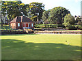
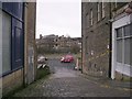
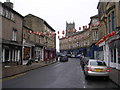
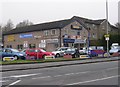
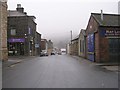
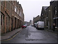
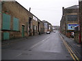
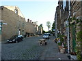
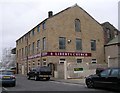
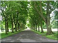
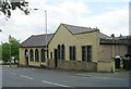
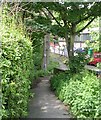
100 photos from this area
Area Information
Key information about the BD21 1JS including its size, population, and administrative classification.
- Area Type
- Postcode
- Area Size
- 2600 m²
- Population
- Not available
- Population Density
- Not available
House Prices in BD21 1JS
7
Properties
£70,564
Average Sold Price
£28,000
Lowest Price
£95,000
Highest Price
Showing 7 properties
| Address | Type | Beds | Baths | Last Sale Price | Last Sale Date | |
|---|---|---|---|---|---|---|
| 5 Upper Hird Street, Keighley, BD21 1JS | house | - | - | £95,000 | Jun 2024 | |
| 9 Upper Hird Street, Keighley, BD21 1JS | house | - | - | £93,500 | Oct 2019 | |
| 7 Upper Hird Street, Keighley, BD21 1JS | Terraced | 3 | 1 | £83,000 | May 2018 | |
| 3 Upper Hird Street, Keighley, BD21 1JS | house | - | - | £86,000 | Jul 2017 | |
| 13 Upper Hird Street, Keighley, BD21 1JS | house | - | - | £28,000 | Mar 2010 | |
| 11 Upper Hird Street, Keighley, BD21 1JS | house | - | - | £59,950 | May 2003 | |
| 1 Upper Hird Street, Keighley, BD21 1JS | Terraced | - | - | £48,500 | Aug 2002 |
Energy Efficiency in BD21 1JS
Amenities
Schools
| Rank | School | Type | Entry gender | Ages |
|---|
Explore more schools in this area
Go to Schools tabDemographics
Household Size
Family (3-5 people)
most common
Accommodation Type
Houses
most common
Tenure
63
majority
Ethnic Group
asian_total
most common
Religion
N/A
most common
Household Composition
N/A
most common
Age
22
median
Adults (30-64 years)
most common
Household Deprivation
N/A
with no deprivation
NS-SEC
11
in Lower managerial occupations
Explore more demographic insights in this area
Go to Demographics tabPlanning
Planning Constraints
- Flood RiskPremium
- Ramsar Wetland SitesPremium
- Area of Outstanding Natural BeautyPremium
- Protected Nature ReservePremium
- Protected WoodlandPremium