Area Overview for BD2 3QE
Photos of BD2 3QE
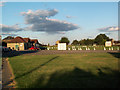
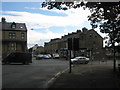
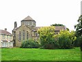
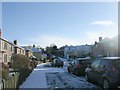
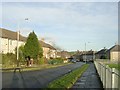
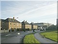
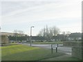
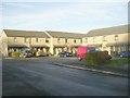
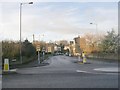
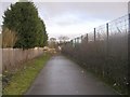
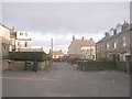
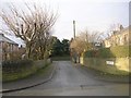
100 photos from this area
Area Information
Key information about the BD2 3QE including its size, population, and administrative classification.
- Area Type
- Postcode
- Area Size
- 7620 m²
- Population
- 1670
- Population Density
- 3497 people/km²
House Prices in BD2 3QE
18
Properties
£83,368
Average Sold Price
£31,000
Lowest Price
£116,500
Highest Price
Showing 18 properties
| Address | Type | Beds | Baths | Last Sale Price | Last Sale Date | |
|---|---|---|---|---|---|---|
| 84 Foston Lane, Bradford, BD2 3QE | Semi-detached | 4 | 1 | £116,500 | Feb 2023 | |
| 58 Foston Lane, Bradford, BD2 3QE | house | - | - | £85,000 | Mar 2017 | |
| 80 Foston Lane, Bradford, BD2 3QE | house | - | - | £64,000 | May 2016 | |
| 86 Foston Lane, Bradford, BD2 3QE | Terraced | 3 | 1 | £69,000 | Mar 2016 | |
| 68 Foston Lane, Bradford, BD2 3QE | house | - | - | £95,000 | Jan 2015 | |
| 66 Foston Lane, Bradford, BD2 3QE | Semi-detached | 3 | 1 | £90,000 | May 2009 | |
| 74 Foston Lane, Bradford, BD2 3QE | house | - | - | £106,500 | Sep 2008 | |
| 88 Foston Lane, Bradford, BD2 3QE | house | - | - | £103,000 | Jan 2008 | |
| 72 Foston Lane, Bradford, BD2 3QE | Semi-detached | - | - | £107,500 | Aug 2006 | |
| 82 Foston Lane, Bradford, BD2 3QE | Semi-detached | 4 | 1 | £105,000 | Apr 2006 |
Page 1 of 2
Energy Efficiency in BD2 3QE
Amenities
Schools
| Rank | School | Type | Entry gender | Ages |
|---|
Explore more schools in this area
Go to Schools tabDemographics
Household Size
Family (3-5 people)
most common
Accommodation Type
Houses
most common
Tenure
36
majority
Ethnic Group
asian_total
most common
Religion
N/A
most common
Household Composition
N/A
most common
Age
22
median
Adults (30-64 years)
most common
Household Deprivation
N/A
with no deprivation
NS-SEC
12
in Lower managerial occupations
Explore more demographic insights in this area
Go to Demographics tabPlanning
Planning Constraints
- Flood RiskPremium
- Ramsar Wetland SitesPremium
- Area of Outstanding Natural BeautyPremium
- Protected Nature ReservePremium
- Protected WoodlandPremium