Area Overview for BD13 3RA
Photos of BD13 3RA
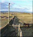
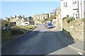
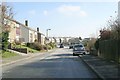
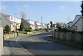
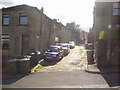
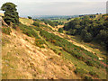
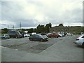
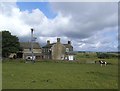
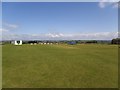
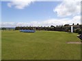
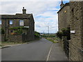
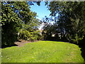
71 photos from this area
Area Information
Key information about the BD13 3RA including its size, population, and administrative classification.
- Area Type
- Postcode
- Area Size
- 13.9 hectares
- Population
- 1414
- Population Density
- 287 people/km²
House Prices in BD13 3RA
31
Properties
£174,215
Average Sold Price
£50,000
Lowest Price
£500,000
Highest Price
Showing 31 properties
| Address | Type | Beds | Baths | Last Sale Price | Last Sale Date | |
|---|---|---|---|---|---|---|
| 24 Spring Holes Lane, Thornton, Bradford, BD13 3RA | Terraced | 2 | 1 | £115,000 | Mar 2025 | |
| 10 Spring Holes Lane, Thornton, Bradford, BD13 3RA | Detached | 5 | - | £315,000 | Feb 2025 | |
| 8 Spring Holes Lane, Thornton, Bradford, BD13 3RA | house | - | - | £233,750 | Dec 2022 | |
| 2, Worlds End View, Spring Holes Lane, Thornton, Bradford, BD13 3RA | Detached | 4 | 2 | £500,000 | Nov 2022 | |
| 11A Spring Holes Lane, Thornton, Bradford, BD13 3RA | Semi-detached | 3 | 1 | £144,983 | Nov 2022 | |
| 2 Spring Holes Lane, Thornton, Bradford, BD13 3RA | house | - | - | £185,000 | Jul 2021 | |
| 13A Spring Holes Lane, Thornton, Bradford, BD13 3RA | Semi-detached | 3 | 1 | £139,995 | Oct 2020 | |
| Spring Holes Farm, Spring Holes Lane, Thornton, Bradford, BD13 3RA | Semi-detached | 3 | 1 | £178,000 | Dec 2019 | |
| 14 Spring Holes Lane, Thornton, Bradford, BD13 3RA | house | - | - | £185,000 | Nov 2018 | |
| 11 Spring Holes Lane, Thornton, Bradford, BD13 3RA | Terraced | 2 | - | £101,500 | Jun 2016 |
Page 1 of 4
Energy Efficiency in BD13 3RA
Amenities
Schools
| Rank | School | Type | Entry gender | Ages |
|---|
Explore more schools in this area
Go to Schools tabDemographics
Household Size
Two person
most common
Accommodation Type
Houses
most common
Tenure
87
majority
Ethnic Group
White
most common
Religion
N/A
most common
Household Composition
N/A
most common
Age
47
median
Adults (30-64 years)
most common
Household Deprivation
N/A
with no deprivation
NS-SEC
38
in Lower managerial occupations
Explore more demographic insights in this area
Go to Demographics tabPlanning
Planning Constraints
- Flood RiskPremium
- Ramsar Wetland SitesPremium
- Area of Outstanding Natural BeautyPremium
- Protected Nature ReservePremium
- Protected WoodlandPremium