Area Overview for WV7 3QT
Photos of WV7 3QT
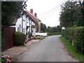
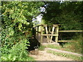
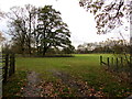
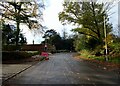
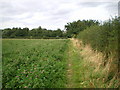
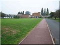
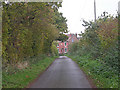
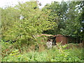
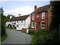
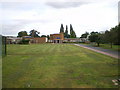
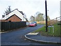
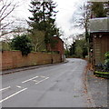
13 photos from this area
Area Information
Key information about the WV7 3QT including its size, population, and administrative classification.
- Area Type
- Postcode
- Area Size
- 1.2 hectares
- Population
- 1800
- Population Density
- 134 people/km²
House Prices in WV7 3QT
27
Properties
£297,833
Average Sold Price
£107,000
Lowest Price
£530,000
Highest Price
Showing 27 properties
| Address | Type | Beds | Baths | Last Sale Price | Last Sale Date | |
|---|---|---|---|---|---|---|
| The Coppice, Cross Road, Albrighton, WV7 3QT | Semi-detached | 4 | 2 | £365,000 | Jul 2024 | |
| The Hollies, Cross Road, Albrighton, WV7 3QT | house | - | - | £530,000 | Feb 2022 | |
| Oak View, Cross Road, Albrighton, WV7 3QT | Semi-detached | 4 | 2 | £285,000 | Dec 2019 | |
| Thornfield, Cross Road, Albrighton, WV7 3QT | house | - | - | £285,000 | Dec 2019 | |
| The Rowans, Cross Road, Albrighton, WV7 3QT | Detached | 5 | 3 | £426,500 | Nov 2016 | |
| The Willows, Cross Road, Albrighton, WV7 3QT | house | - | - | £420,000 | Dec 2014 | |
| Doone, 60 Cross Road, Albrighton, WV7 3QT | Detached | - | - | £135,000 | Feb 2009 | |
| West Acres, Cross Road, Albrighton, WV7 3QT | Detached | - | - | £127,000 | Aug 1999 | |
| Beggars Roost, Cross Road, Albrighton, WV7 3QT | Detached | - | - | £107,000 | Oct 1997 | |
| Apartment 11, Majestic House, 58 Cross Road, Albrighton, WV7 3QT | Flat | 2 | 1 | - | - |
Page 1 of 3
Energy Efficiency in WV7 3QT
Amenities
Schools
| Rank | School | Type | Entry gender | Ages |
|---|
Explore more schools in this area
Go to Schools tabDemographics
Household Size
Two person
most common
Accommodation Type
Houses
most common
Tenure
69
majority
Ethnic Group
White
most common
Religion
N/A
most common
Household Composition
N/A
most common
Age
47
median
Adults (30-64 years)
most common
Household Deprivation
N/A
with no deprivation
NS-SEC
36
in Lower managerial occupations
Explore more demographic insights in this area
Go to Demographics tabPlanning
Planning Constraints
- Flood RiskPremium
- Ramsar Wetland SitesPremium
- Area of Outstanding Natural BeautyPremium
- Protected Nature ReservePremium
- Protected WoodlandPremium