Area Overview for WV6 8SF
Photos of WV6 8SF
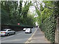
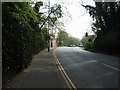
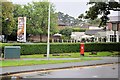
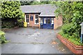
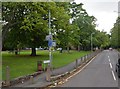
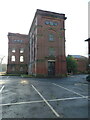
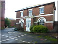
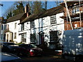
100 photos from this area
Area Information
Key information about the WV6 8SF including its size, population, and administrative classification.
- Area Type
- Postcode
- Area Size
- 2.5 hectares
- Population
- 1752
- Population Density
- 1903 people/km²
House Prices in WV6 8SF
32
Properties
£408,870
Average Sold Price
£140,000
Lowest Price
£1,000,000
Highest Price
Showing 32 properties
| Address | Type | Beds | Baths | Last Sale Price | Last Sale Date | |
|---|---|---|---|---|---|---|
| 36 Wrottesley Road, Wolverhampton, WV6 8SF | Detached | 4 | 2 | £630,000 | Mar 2025 | |
| 34 Wrottesley Road, Wolverhampton, WV6 8SF | house | - | - | £490,000 | Oct 2024 | |
| 30 Wrottesley Road, Wolverhampton, WV6 8SF | house | - | - | £1,000,000 | Aug 2024 | |
| 20 Wrottesley Road, Wolverhampton, WV6 8SF | house | - | - | £415,000 | Nov 2022 | |
| 44A Wrottesley Road, Wolverhampton, WV6 8SF | Semi-detached | 3 | 1 | £422,000 | Oct 2022 | |
| 28B Wrottesley Road, Wolverhampton, WV6 8SF | house | 4 | - | £410,000 | Nov 2021 | |
| 70 Wrottesley Road, Wolverhampton, WV6 8SF | Flat | 2 | - | £405,000 | Oct 2020 | |
| 44 Wrottesley Road, Wolverhampton, WV6 8SF | Semi-detached | 3 | 2 | £335,000 | Aug 2020 | |
| 62 Wrottesley Road, Wolverhampton, WV6 8SF | house | - | - | £350,000 | Dec 2017 | |
| 22 Wrottesley Road, Wolverhampton, WV6 8SF | house | - | - | £382,000 | Nov 2017 |
Page 1 of 4
Energy Efficiency in WV6 8SF
Amenities
Schools
| Rank | School | Type | Entry gender | Ages |
|---|
Explore more schools in this area
Go to Schools tabDemographics
Household Size
Family (3-5 people)
most common
Accommodation Type
Houses
most common
Tenure
90
majority
Ethnic Group
White
most common
Religion
N/A
most common
Household Composition
N/A
most common
Age
47
median
Adults (30-64 years)
most common
Household Deprivation
N/A
with no deprivation
NS-SEC
47
in Lower managerial occupations
Explore more demographic insights in this area
Go to Demographics tabPlanning
Planning Constraints
- Flood RiskPremium
- Ramsar Wetland SitesPremium
- Area of Outstanding Natural BeautyPremium
- Protected Nature ReservePremium
- Protected WoodlandPremium