Area Overview for WV6 8PJ
Photos of WV6 8PJ
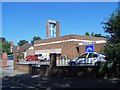
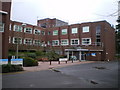
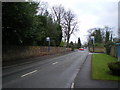
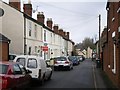
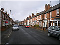
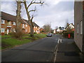
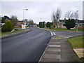
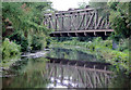
100 photos from this area
Area Information
Key information about the WV6 8PJ including its size, population, and administrative classification.
- Area Type
- Postcode
- Area Size
- 6.9 hectares
- Population
- 1473
- Population Density
- 2146 people/km²
House Prices in WV6 8PJ
48
Properties
£229,484
Average Sold Price
£45,000
Lowest Price
£390,000
Highest Price
Showing 48 properties
| Address | Type | Beds | Baths | Last Sale Price | Last Sale Date | |
|---|---|---|---|---|---|---|
| 97 Henwood Road, Wolverhampton, WV6 8PJ | Detached | 3 | 2 | £390,000 | Mar 2025 | |
| 115 Henwood Road, Wolverhampton, WV6 8PJ | Bungalow | - | - | £280,000 | Oct 2024 | |
| 79 Henwood Road, Wolverhampton, WV6 8PJ | Bungalow | - | - | £302,000 | Sep 2022 | |
| 149 Henwood Road, Wolverhampton, WV6 8PJ | Bungalow | - | - | £270,000 | Sep 2022 | |
| 127 Henwood Road, Wolverhampton, WV6 8PJ | house | - | - | £350,000 | Sep 2021 | |
| 125 Henwood Road, Wolverhampton, WV6 8PJ | house | - | - | £270,000 | Nov 2020 | |
| 141 Henwood Road, Wolverhampton, WV6 8PJ | house | - | - | £282,500 | Sep 2020 | |
| 89 Henwood Road, Wolverhampton, WV6 8PJ | house | - | - | £339,000 | Dec 2019 | |
| 109 Henwood Road, Wolverhampton, WV6 8PJ | house | - | - | £314,950 | Oct 2019 | |
| 95 Henwood Road, Wolverhampton, WV6 8PJ | house | - | - | £347,500 | Jun 2019 |
Page 1 of 5
Energy Efficiency in WV6 8PJ
Amenities
Schools
| Rank | School | Type | Entry gender | Ages |
|---|
Explore more schools in this area
Go to Schools tabDemographics
Household Size
One person
most common
Accommodation Type
Houses
most common
Tenure
74
majority
Ethnic Group
White
most common
Religion
N/A
most common
Household Composition
N/A
most common
Age
47
median
Elderly (65+ years)
most common
Household Deprivation
N/A
with no deprivation
NS-SEC
42
in Lower managerial occupations
Explore more demographic insights in this area
Go to Demographics tabPlanning
Planning Constraints
- Flood RiskPremium
- Ramsar Wetland SitesPremium
- Area of Outstanding Natural BeautyPremium
- Protected Nature ReservePremium
- Protected WoodlandPremium