Area Overview for WV6 8NL
Photos of WV6 8NL
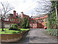
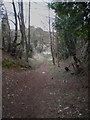
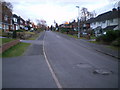
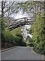
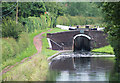
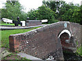
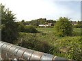
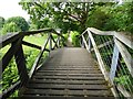
100 photos from this area
Area Information
Key information about the WV6 8NL including its size, population, and administrative classification.
- Area Type
- Postcode
- Area Size
- 2.7 hectares
- Population
- 1589
- Population Density
- 2320 people/km²
House Prices in WV6 8NL
26
Properties
£330,787
Average Sold Price
£125,000
Lowest Price
£519,000
Highest Price
Showing 26 properties
| Address | Type | Beds | Baths | Last Sale Price | Last Sale Date | |
|---|---|---|---|---|---|---|
| 29 Torvale Road, Wolverhampton, WV6 8NL | house | - | - | £410,000 | Mar 2023 | |
| 23 Torvale Road, Wolverhampton, WV6 8NL | house | - | - | £519,000 | Jan 2021 | |
| 21 Torvale Road, Wolverhampton, WV6 8NL | house | - | - | £440,000 | Sep 2020 | |
| 38 Torvale Road, Wolverhampton, WV6 8NL | house | - | - | £395,000 | Aug 2020 | |
| 28 Torvale Road, Wolverhampton, WV6 8NL | house | - | - | £353,000 | May 2018 | |
| 43 Torvale Road, Wolverhampton, WV6 8NL | house | - | - | £432,000 | May 2018 | |
| 32 Torvale Road, Wolverhampton, WV6 8NL | house | - | - | £363,500 | Sep 2017 | |
| 22 Torvale Road, Wolverhampton, WV6 8NL | house | - | - | £430,000 | Aug 2017 | |
| 20 Torvale Road, Wolverhampton, WV6 8NL | house | - | - | £325,000 | Jul 2017 | |
| 26 Torvale Road, Wolverhampton, WV6 8NL | Bungalow | - | - | £230,000 | Aug 2016 |
Page 1 of 3
Energy Efficiency in WV6 8NL
Amenities
Schools
| Rank | School | Type | Entry gender | Ages |
|---|
Explore more schools in this area
Go to Schools tabDemographics
Household Size
One person
most common
Accommodation Type
Houses
most common
Tenure
72
majority
Ethnic Group
White
most common
Religion
N/A
most common
Household Composition
N/A
most common
Age
47
median
Adults (30-64 years)
most common
Household Deprivation
N/A
with no deprivation
NS-SEC
44
in Lower managerial occupations
Explore more demographic insights in this area
Go to Demographics tabPlanning
Planning Constraints
- Flood RiskPremium
- Ramsar Wetland SitesPremium
- Area of Outstanding Natural BeautyPremium
- Protected Nature ReservePremium
- Protected WoodlandPremium