Area Overview for WV6 7XE
Photos of WV6 7XE
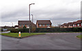
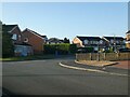
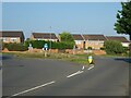
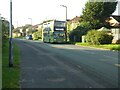
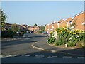
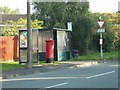
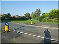
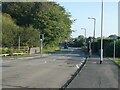
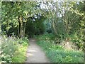
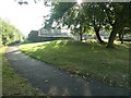
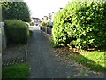
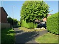
77 photos from this area
Area Information
Key information about the WV6 7XE including its size, population, and administrative classification.
- Area Type
- Postcode
- Area Size
- 8192 m²
- Population
- 1392
- Population Density
- 5647 people/km²
House Prices in WV6 7XE
30
Properties
£100,404
Average Sold Price
£32,950
Lowest Price
£265,000
Highest Price
Showing 30 properties
| Address | Type | Beds | Baths | Last Sale Price | Last Sale Date | |
|---|---|---|---|---|---|---|
| 17 Worcester Grove, Perton, WV6 7XE | Semi-detached | 3 | 1 | £265,000 | Feb 2025 | |
| 1 Worcester Grove, Perton, WV6 7XE | Flat | 1 | 1 | £118,000 | Jan 2025 | |
| 12 Worcester Grove, Perton, WV6 7XE | Flat | - | - | £120,000 | Oct 2024 | |
| 21 Worcester Grove, Perton, WV6 7XE | Semi-detached | 3 | 1 | £250,000 | Jun 2024 | |
| 37 Worcester Grove, Perton, WV6 7XE | Flat | 1 | 1 | £111,500 | May 2024 | |
| 9 Worcester Grove, Perton, WV6 7XE | Detached | 2 | 1 | £190,000 | Aug 2022 | |
| 23 Worcester Grove, Perton, WV6 7XE | Flat | - | - | £93,000 | Mar 2021 | |
| 3 Worcester Grove, Perton, WV6 7XE | Flat | - | - | £80,000 | Apr 2018 | |
| 18 Worcester Grove, Perton, WV6 7XE | house | - | - | £192,500 | Mar 2017 | |
| 35 Worcester Grove, Perton, WV6 7XE | Flat | 1 | 1 | £84,000 | Mar 2016 |
Page 1 of 3
Energy Efficiency in WV6 7XE
Amenities
Schools
| Rank | School | Type | Entry gender | Ages |
|---|
Explore more schools in this area
Go to Schools tabDemographics
Household Size
Two person
most common
Accommodation Type
Houses
most common
Tenure
82
majority
Ethnic Group
White
most common
Religion
N/A
most common
Household Composition
N/A
most common
Age
47
median
Adults (30-64 years)
most common
Household Deprivation
N/A
with no deprivation
NS-SEC
42
in Lower managerial occupations
Explore more demographic insights in this area
Go to Demographics tabPlanning
Planning Constraints
- Flood RiskPremium
- Ramsar Wetland SitesPremium
- Area of Outstanding Natural BeautyPremium
- Protected Nature ReservePremium
- Protected WoodlandPremium