Area Overview for WV6 7JB
Photos of WV6 7JB
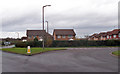
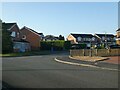
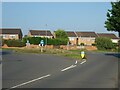
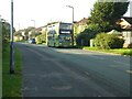
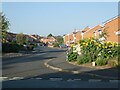
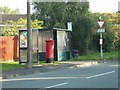
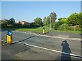
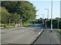
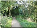
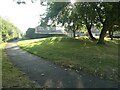
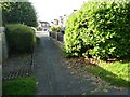
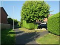
77 photos from this area
Area Information
Key information about the WV6 7JB including its size, population, and administrative classification.
- Area Type
- Postcode
- Area Size
- 8.6 hectares
- Population
- 1916
- Population Density
- 127 people/km²
House Prices in WV6 7JB
33
Properties
£344,699
Average Sold Price
£259,995
Lowest Price
£493,250
Highest Price
Showing 33 properties
| Address | Type | Beds | Baths | Last Sale Price | Last Sale Date | |
|---|---|---|---|---|---|---|
| 34 Cobham Close, Perton, WV6 7JB | house | - | - | £493,250 | Jun 2025 | |
| 36 Cobham Close, Perton, WV6 7JB | house | - | - | £493,250 | Mar 2025 | |
| 6 Cobham Close, Perton, WV6 7JB | house | - | - | £267,950 | Mar 2025 | |
| 4 Cobham Close, Perton, WV6 7JB | house | - | - | £259,995 | Mar 2025 | |
| 21 Cobham Close, Perton, WV6 7JB | house | - | - | £295,000 | Jan 2025 | |
| 1 Cobham Close, Perton, WV6 7JB | house | - | - | £337,950 | Jun 2024 | |
| 26 Cobham Close, Perton, WV6 7JB | house | - | - | £265,500 | May 2024 | |
| The Larch, 11 Cobham Close, Perton, WV6 7JB | house | - | - | - | - | |
| 10 Cobham Close, Perton, WV6 7JB | house | - | - | - | - | |
| 14 Cobham Close, Perton, WV6 7JB | house | - | - | - | - |
Page 1 of 4
Energy Efficiency in WV6 7JB
Amenities
Schools
| Rank | School | Type | Entry gender | Ages |
|---|
Explore more schools in this area
Go to Schools tabDemographics
Household Size
Two person
most common
Accommodation Type
Houses
most common
Tenure
87
majority
Ethnic Group
White
most common
Religion
N/A
most common
Household Composition
N/A
most common
Age
47
median
Adults (30-64 years)
most common
Household Deprivation
N/A
with no deprivation
NS-SEC
37
in Lower managerial occupations
Explore more demographic insights in this area
Go to Demographics tabPlanning
Planning Constraints
- Flood RiskPremium
- Ramsar Wetland SitesPremium
- Area of Outstanding Natural BeautyPremium
- Protected Nature ReservePremium
- Protected WoodlandPremium