Area Overview for WV6 7HJ
Photos of WV6 7HJ
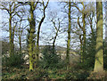
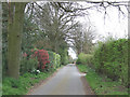
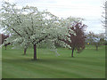
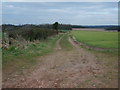
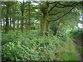
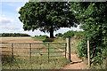
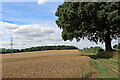
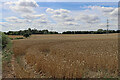
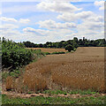
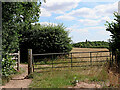
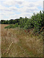
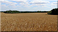
58 photos from this area
Area Information
Key information about the WV6 7HJ including its size, population, and administrative classification.
- Area Type
- Postcode
- Area Size
- 1.4 km²
- Population
- 1916
- Population Density
- 127 people/km²
House Prices in WV6 7HJ
12
Properties
£750,800
Average Sold Price
£395,000
Lowest Price
£1,250,000
Highest Price
Showing 12 properties
| Address | Type | Beds | Baths | Last Sale Price | Last Sale Date | |
|---|---|---|---|---|---|---|
| Hollies Farm, Hollies Lane, Pattingham, WV6 7HJ | house | - | - | £1,250,000 | Feb 2025 | |
| Hollies Lodge, Hollies Lane, Pattingham, WV6 7HJ | house | - | - | £975,000 | Nov 2020 | |
| The Stable Barn, Hollies Lane, Pattingham, WV6 7HJ | Cottage | 2 | 1 | £699,000 | Jul 2008 | |
| Mere Oak Corner, Hollies Lane, Pattingham, WV6 7HJ | Detached | - | - | £435,000 | Mar 2000 | |
| Nurton Ridge, Hollies Lane, Pattingham, WV6 7HJ | house | - | - | £395,000 | Jul 1997 | |
| Nurton Croft, Hollies Lane, Pattingham, WV6 7HJ | house | - | - | - | - | |
| Tennis 40M From Nurton Ridge, Hollies Lane 57M From Unnamed Road, Hollies Lane, Pattingham, WV6 7HJ | Leisure | - | - | - | - | |
| Tennis 32M From Mere Oak, Hollies Lane 69M From Hollies Lane, Hollies Lane, Pattingham, WV6 7HJ | Leisure | - | - | - | - | |
| Grange Farm, Hollies Lane, Pattingham, WV6 7HJ | house | - | - | - | - | |
| Mere Oak, Hollies Lane, Pattingham, WV6 7HJ | Detached | - | - | - | - |
Page 1 of 2
Energy Efficiency in WV6 7HJ
Amenities
Schools
| Rank | School | Type | Entry gender | Ages |
|---|
Explore more schools in this area
Go to Schools tabDemographics
Household Size
Two person
most common
Accommodation Type
Houses
most common
Tenure
87
majority
Ethnic Group
White
most common
Religion
N/A
most common
Household Composition
N/A
most common
Age
47
median
Adults (30-64 years)
most common
Household Deprivation
N/A
with no deprivation
NS-SEC
37
in Lower managerial occupations
Explore more demographic insights in this area
Go to Demographics tabPlanning
Planning Constraints
- Flood RiskPremium
- Ramsar Wetland SitesPremium
- Area of Outstanding Natural BeautyPremium
- Protected Nature ReservePremium
- Protected WoodlandPremium