Area Overview for WV4 6QL
Photos of WV4 6QL
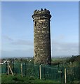
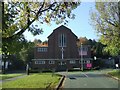
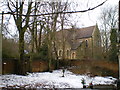
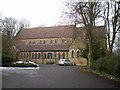
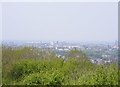
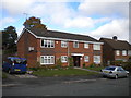
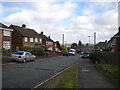
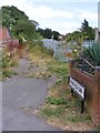
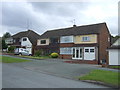
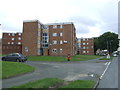
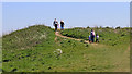
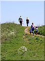
100 photos from this area
Area Information
Key information about the WV4 6QL including its size, population, and administrative classification.
- Area Type
- Postcode
- Area Size
- 4.4 hectares
- Population
- 1460
- Population Density
- 4665 people/km²
House Prices in WV4 6QL
84
Properties
£172,378
Average Sold Price
£16,650
Lowest Price
£310,000
Highest Price
Showing 84 properties
| Address | Type | Beds | Baths | Last Sale Price | Last Sale Date | |
|---|---|---|---|---|---|---|
| 149 Farrington Road, Wolverhampton, WV4 6QL | Semi-detached | 3 | 1 | £295,000 | May 2024 | |
| 152 Farrington Road, Wolverhampton, WV4 6QL | house | - | - | £275,000 | Apr 2024 | |
| 110 Farrington Road, Wolverhampton, WV4 6QL | Semi-detached | - | - | £16,650 | Sep 2023 | |
| 154 Farrington Road, Wolverhampton, WV4 6QL | house | 3 | 1 | £310,000 | Dec 2022 | |
| 155 Farrington Road, Wolverhampton, WV4 6QL | house | 3 | 1 | £260,000 | Sep 2022 | |
| 123 Farrington Road, Wolverhampton, WV4 6QL | house | - | - | £285,000 | Aug 2022 | |
| 160 Farrington Road, Wolverhampton, WV4 6QL | house | - | - | £160,000 | Mar 2022 | |
| 111 Farrington Road, Wolverhampton, WV4 6QL | house | - | - | £243,750 | Jan 2022 | |
| 118 Farrington Road, Wolverhampton, WV4 6QL | house | 3 | 1 | £225,000 | Aug 2021 | |
| 115 Farrington Road, Wolverhampton, WV4 6QL | Detached | 3 | - | £277,000 | Jun 2021 |
Page 1 of 9
Energy Efficiency in WV4 6QL
Amenities
Schools
| Rank | School | Type | Entry gender | Ages |
|---|
Explore more schools in this area
Go to Schools tabDemographics
Household Size
Two person
most common
Accommodation Type
Houses
most common
Tenure
87
majority
Ethnic Group
White
most common
Religion
N/A
most common
Household Composition
N/A
most common
Age
47
median
Adults (30-64 years)
most common
Household Deprivation
N/A
with no deprivation
NS-SEC
27
in Lower managerial occupations
Explore more demographic insights in this area
Go to Demographics tabPlanning
Planning Constraints
- Flood RiskPremium
- Ramsar Wetland SitesPremium
- Area of Outstanding Natural BeautyPremium
- Protected Nature ReservePremium
- Protected WoodlandPremium