Area Overview for WV4 6PE
Photos of WV4 6PE
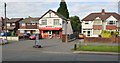
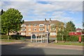
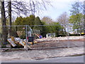
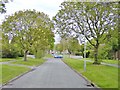
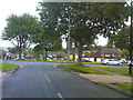
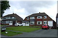
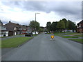
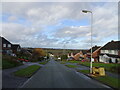
100 photos from this area
Area Information
Key information about the WV4 6PE including its size, population, and administrative classification.
- Area Type
- Postcode
- Area Size
- 7459 m²
- Population
- 1460
- Population Density
- 4665 people/km²
House Prices in WV4 6PE
18
Properties
£177,025
Average Sold Price
£73,750
Lowest Price
£267,500
Highest Price
Showing 18 properties
| Address | Type | Beds | Baths | Last Sale Price | Last Sale Date | |
|---|---|---|---|---|---|---|
| 88 Laburnum Road, Lanesfield, Wolverhampton, WV4 6PE | house | - | - | £267,500 | Dec 2023 | |
| 90 Laburnum Road, Lanesfield, Wolverhampton, WV4 6PE | Semi-detached | 3 | 1 | £239,950 | Oct 2022 | |
| 80 Laburnum Road, Lanesfield, Wolverhampton, WV4 6PE | house | - | - | £219,999 | May 2022 | |
| 62 Laburnum Road, Lanesfield, Wolverhampton, WV4 6PE | house | - | - | £208,000 | Nov 2020 | |
| 60 Laburnum Road, Lanesfield, Wolverhampton, WV4 6PE | house | - | - | £164,000 | Sep 2015 | |
| 84 Laburnum Road, Lanesfield, Wolverhampton, WV4 6PE | house | - | - | £158,000 | Jun 2007 | |
| 70 Laburnum Road, Lanesfield, Wolverhampton, WV4 6PE | Semi-detached | - | - | £85,000 | Nov 2001 | |
| 72 Laburnum Road, Lanesfield, Wolverhampton, WV4 6PE | house | 3 | - | £73,750 | Jan 2001 | |
| 58 Laburnum Road, Lanesfield, Wolverhampton, WV4 6PE | Semi-detached | - | - | - | - | |
| 76 Laburnum Road, Lanesfield, Wolverhampton, WV4 6PE | Semi-detached | - | - | - | - |
Page 1 of 2
Energy Efficiency in WV4 6PE
Amenities
Schools
| Rank | School | Type | Entry gender | Ages |
|---|
Explore more schools in this area
Go to Schools tabDemographics
Household Size
Two person
most common
Accommodation Type
Houses
most common
Tenure
87
majority
Ethnic Group
White
most common
Religion
N/A
most common
Household Composition
N/A
most common
Age
47
median
Adults (30-64 years)
most common
Household Deprivation
N/A
with no deprivation
NS-SEC
27
in Lower managerial occupations
Explore more demographic insights in this area
Go to Demographics tabPlanning
Planning Constraints
- Flood RiskPremium
- Ramsar Wetland SitesPremium
- Area of Outstanding Natural BeautyPremium
- Protected Nature ReservePremium
- Protected WoodlandPremium