Area Overview for WV4 5DB
Photos of WV4 5DB
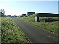
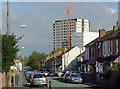
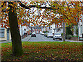
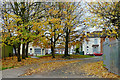
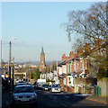
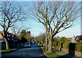
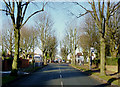
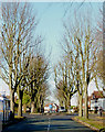
100 photos from this area
Area Information
Key information about the WV4 5DB including its size, population, and administrative classification.
- Area Type
- Postcode
- Area Size
- 5044 m²
- Population
- 1555
- Population Density
- 3826 people/km²
House Prices in WV4 5DB
10
Properties
£150,750
Average Sold Price
£53,500
Lowest Price
£257,000
Highest Price
Showing 10 properties
| Address | Type | Beds | Baths | Last Sale Price | Last Sale Date | |
|---|---|---|---|---|---|---|
| 61 Jeremy Road, Wolverhampton, WV4 5DB | Semi-detached | 3 | 1 | £255,000 | Oct 2024 | |
| 63 Jeremy Road, Wolverhampton, WV4 5DB | Bungalow | 3 | 1 | £257,000 | Nov 2015 | |
| 57 Jeremy Road, Wolverhampton, WV4 5DB | Semi-detached | 5 | - | £156,000 | Apr 2004 | |
| 46 Jeremy Road, Wolverhampton, WV4 5DB | Bungalow | 5 | - | £128,000 | Feb 2003 | |
| 44 Jeremy Road, Wolverhampton, WV4 5DB | house | - | - | £55,000 | Apr 1998 | |
| 55 Jeremy Road, Wolverhampton, WV4 5DB | Semi-detached | - | - | £53,500 | Feb 1997 | |
| 52 Jeremy Road, Wolverhampton, WV4 5DB | Semi-detached | - | - | - | - | |
| 50 Jeremy Road, Wolverhampton, WV4 5DB | house | - | - | - | - | |
| 48 Jeremy Road, Wolverhampton, WV4 5DB | Semi-detached | - | - | - | - | |
| 59 Jeremy Road, Wolverhampton, WV4 5DB | Semi-detached | - | - | - | - |
Energy Efficiency in WV4 5DB
Amenities
Schools
| Rank | School | Type | Entry gender | Ages |
|---|
Explore more schools in this area
Go to Schools tabDemographics
Household Size
Family (3-5 people)
most common
Accommodation Type
Houses
most common
Tenure
84
majority
Ethnic Group
asian_total
most common
Religion
N/A
most common
Household Composition
N/A
most common
Age
47
median
Adults (30-64 years)
most common
Household Deprivation
N/A
with no deprivation
NS-SEC
27
in Lower managerial occupations
Explore more demographic insights in this area
Go to Demographics tabPlanning
Planning Constraints
- Flood RiskPremium
- Ramsar Wetland SitesPremium
- Area of Outstanding Natural BeautyPremium
- Protected Nature ReservePremium
- Protected WoodlandPremium