Area Overview for WV3 9PT
Photos of WV3 9PT
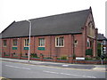
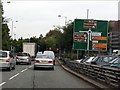
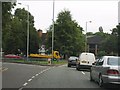
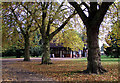
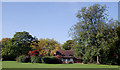
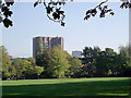
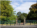
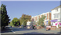
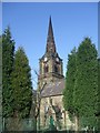
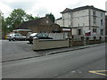
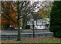
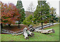
100 photos from this area
Area Information
Key information about the WV3 9PT including its size, population, and administrative classification.
- Area Type
- Postcode
- Area Size
- 8844 m²
- Population
- 1554
- Population Density
- 6789 people/km²
House Prices in WV3 9PT
80
Properties
£123,676
Average Sold Price
£30,000
Lowest Price
£280,000
Highest Price
Showing 80 properties
| Address | Type | Beds | Baths | Last Sale Price | Last Sale Date | |
|---|---|---|---|---|---|---|
| 15 Haden Hill, Wolverhampton, WV3 9PT | Terraced | 3 | 1 | £220,000 | Sep 2025 | |
| 28 Haden Hill, Wolverhampton, WV3 9PT | Terraced | 3 | 1 | £192,000 | Apr 2025 | |
| 35 Haden Hill, Wolverhampton, WV3 9PT | Terraced | 2 | 1 | £186,000 | Oct 2024 | |
| 10 Haden Hill, Wolverhampton, WV3 9PT | Terraced | 3 | 1 | £135,000 | Jun 2024 | |
| 32 Haden Hill, Wolverhampton, WV3 9PT | Terraced | 2 | 1 | £135,000 | Jan 2024 | |
| 22 Haden Hill, Wolverhampton, WV3 9PT | Terraced | 3 | 1 | £221,000 | Jun 2023 | |
| 1A Haden Hill, Wolverhampton, WV3 9PT | Semi-detached | 4 | 1 | £280,000 | Jan 2023 | |
| 34 Haden Hill, Wolverhampton, WV3 9PT | Terraced | 3 | 1 | £152,000 | May 2021 | |
| 16 Haden Hill, Wolverhampton, WV3 9PT | Terraced | 3 | 1 | £177,500 | Nov 2019 | |
| 8 Haden Hill, Wolverhampton, WV3 9PT | Terraced | 3 | 1 | £120,000 | Sep 2019 |
Page 1 of 8
Energy Efficiency in WV3 9PT
Amenities
Schools
| Rank | School | Type | Entry gender | Ages |
|---|
Explore more schools in this area
Go to Schools tabDemographics
Household Size
One person
most common
Accommodation Type
Flats
most common
Tenure
33
majority
Ethnic Group
White
most common
Religion
N/A
most common
Household Composition
N/A
most common
Age
47
median
Adults (30-64 years)
most common
Household Deprivation
N/A
with no deprivation
NS-SEC
28
in Lower managerial occupations
Explore more demographic insights in this area
Go to Demographics tabPlanning
Planning Constraints
- Flood RiskPremium
- Ramsar Wetland SitesPremium
- Area of Outstanding Natural BeautyPremium
- Protected Nature ReservePremium
- Protected WoodlandPremium